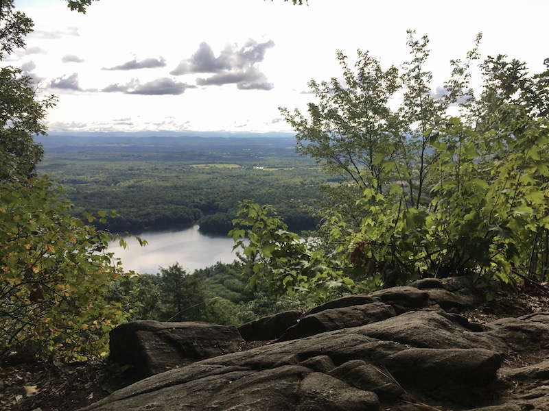
High above the popular swimming and boating areas on Moreau Lake, the Palmertown Range offers miles of trails to various viewpoints. The most popular viewpoint in the park looks out over Moreau Lake itself, with views of distant mountains on a clear day.
While the most used trail to this overlook starts conveniently within the park, ascending from the main parking lot by the lake area, we'll cover a back route up that's much less known. Despite having less use, the Baker Trail is well marked and covers less elevation change than going up from the other trail.
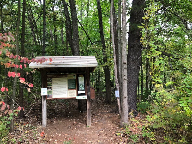
You'll start from a trailhead off of Spier Falls Road (marked below on the map). You'll want to navigate precisely to the location marked on Google Maps, as the entrance is marked with a nondescript state park sign next to a gravel road into the woods. Drive on the road for a short ways, and you'll come to a parking lot with space available for several cars.
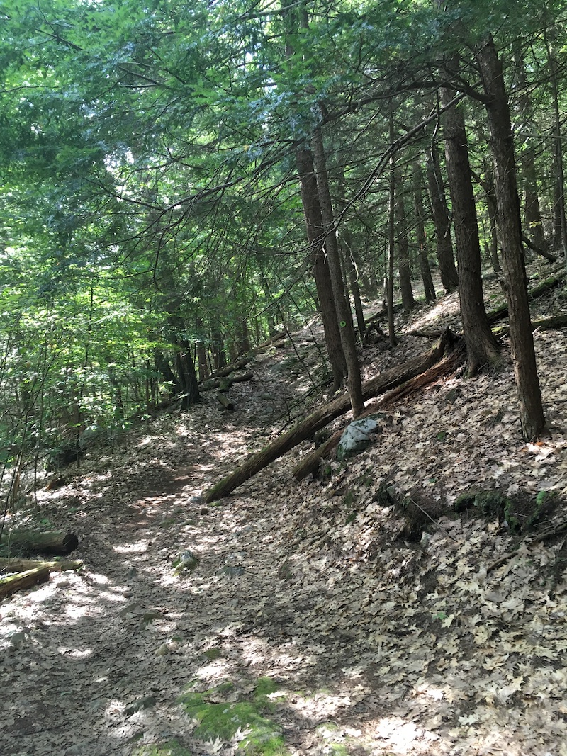
From the parking lot, you'll see a couple of trails branching off. The Baker Trail is marked in green and starts to the left if you're facing forward from the direction you drove in. Following green markers, you'll soon find yourself on a wide, well-marked trail that covers a gradual ascent up the mountain.
After just under a mile, you'll come to an intersection with the Ridge Run trail, marked in red. Turn left here, and you'll walk up and down some slight inclines before arriving at the overlook soon. At this clearing at the top, you can see the activity down at the lake on a busy day at the park, as well as looking out to the mountains of New England in the distance.
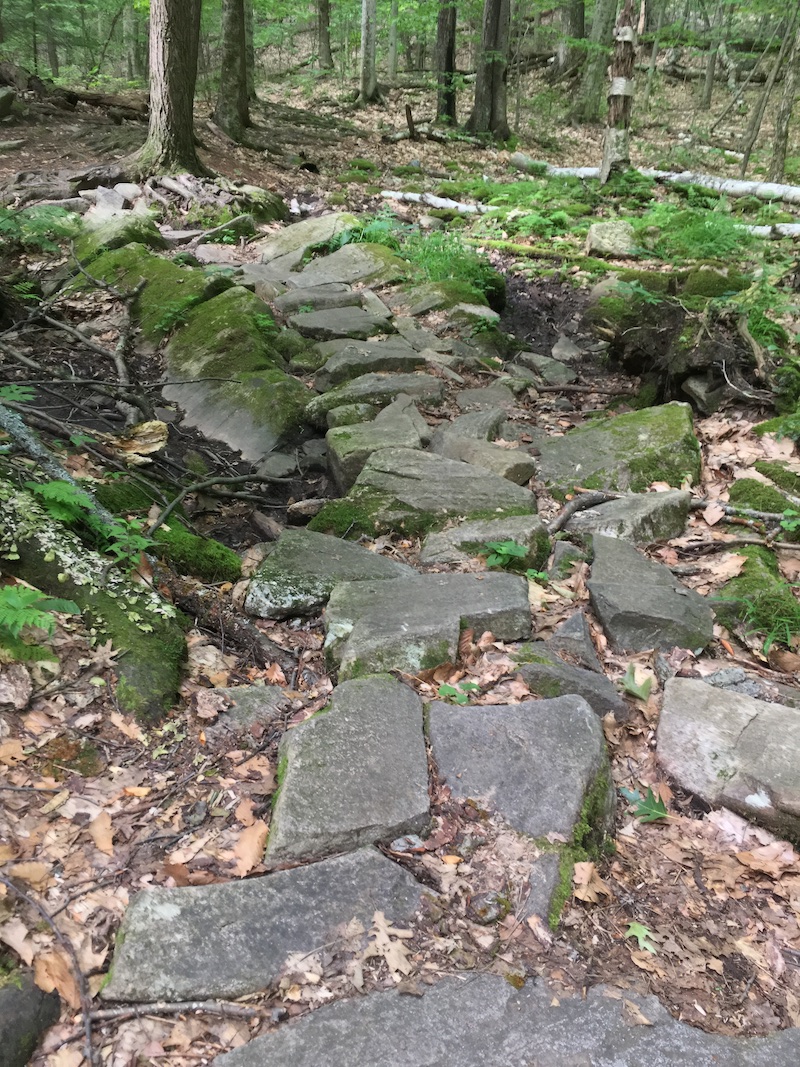
You can either go back down the same way, or keep following the Ridge Run trail to eventually turn right on the yellow-marked Western Ridge trail, leading right back down to the parking area. Note that venturing further into the Palmertown Range will entail some more strenuous hiking, and you'll want to have a trail map handy to navigate the many intersections.
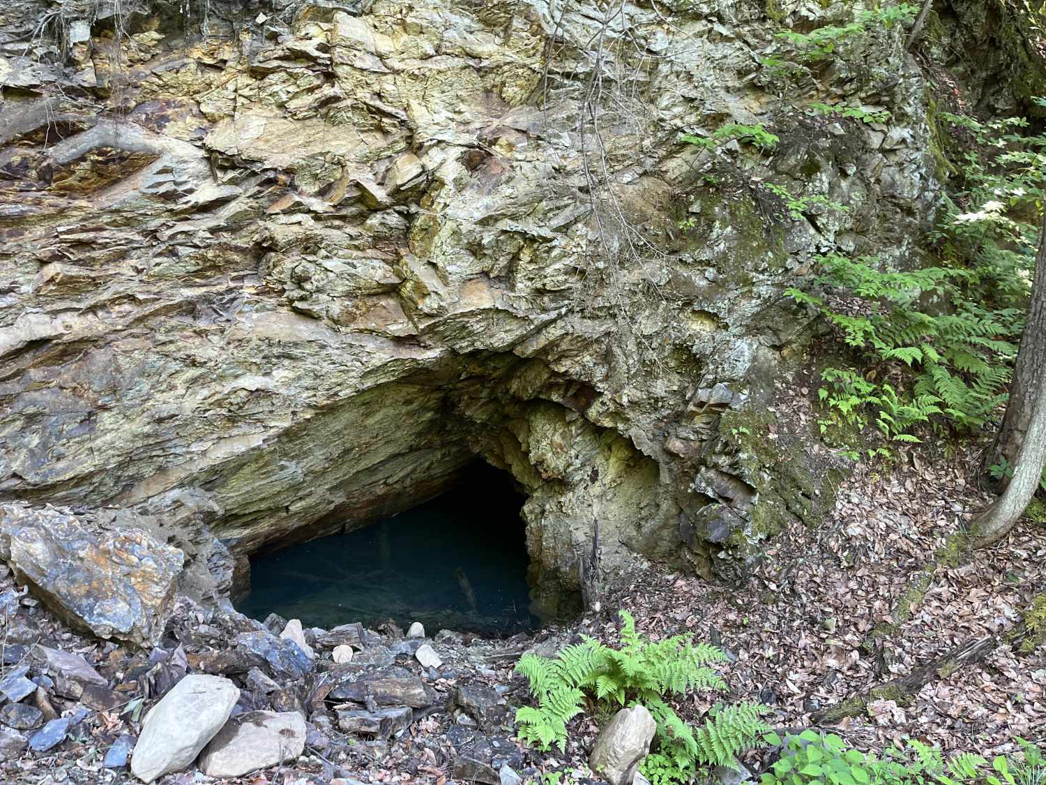
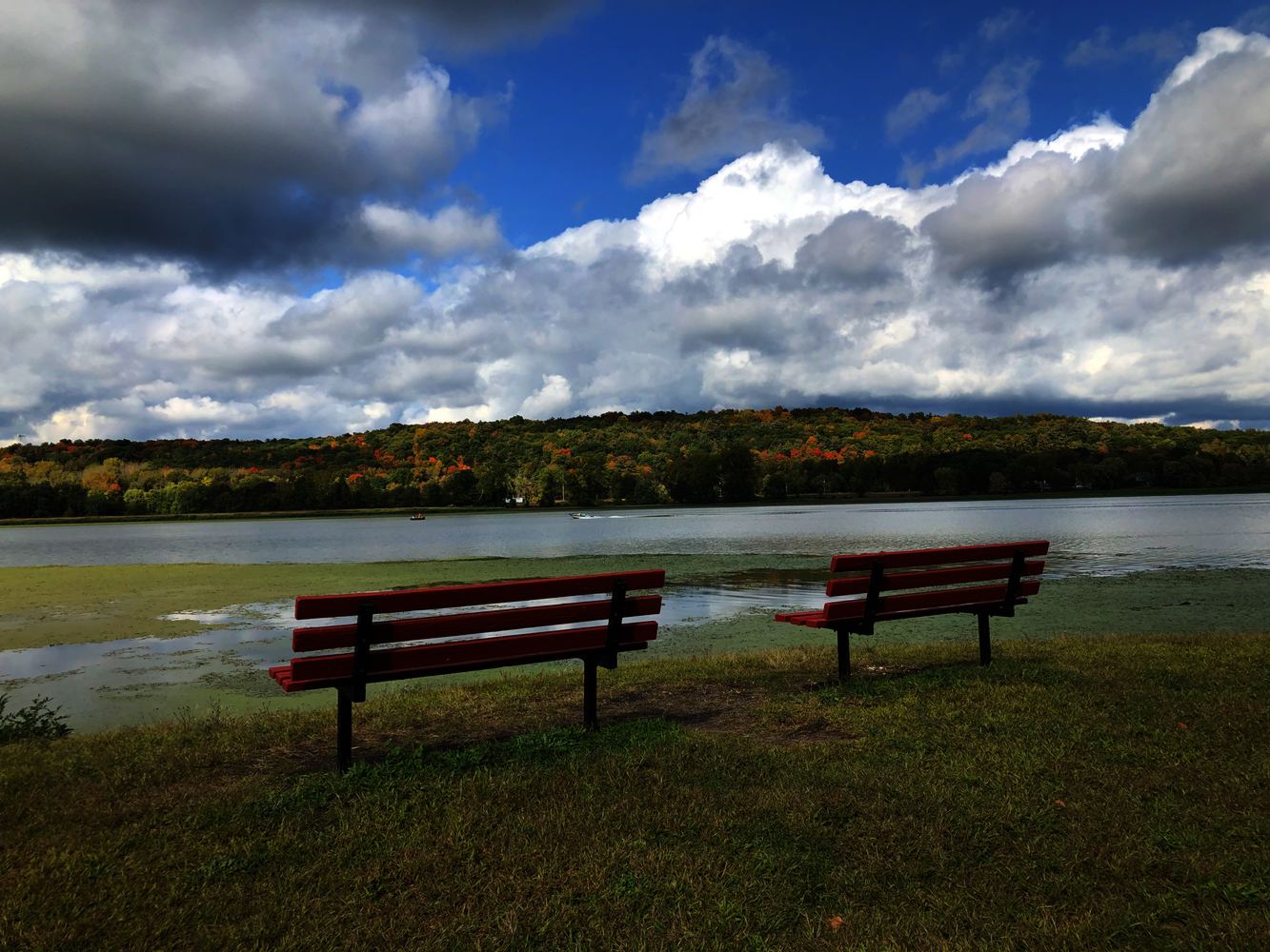
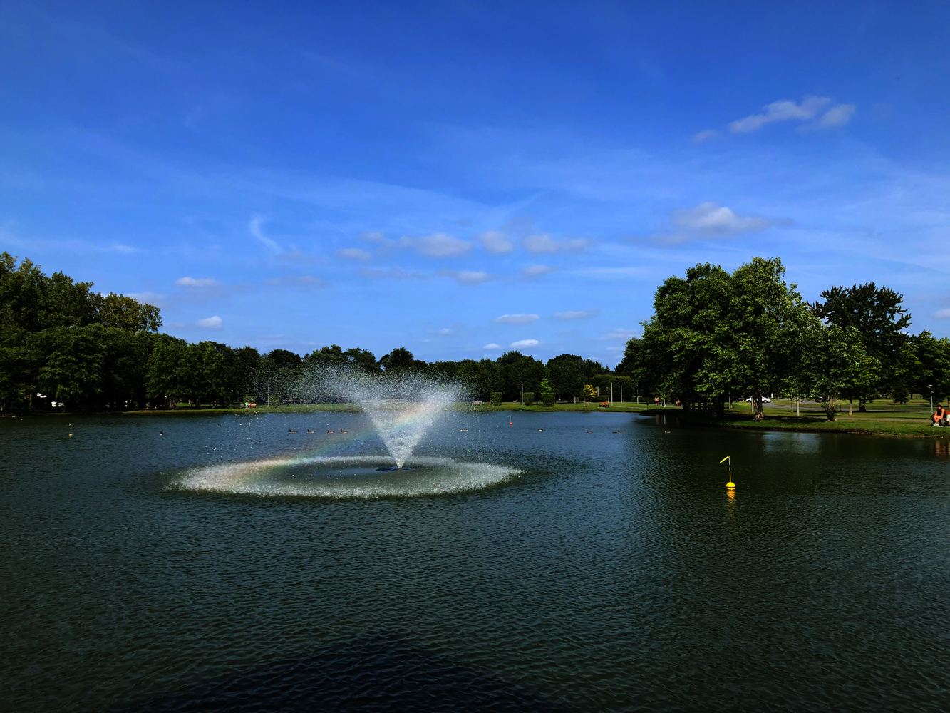
Moreau Lake Overlook Hike Photos
Trailhead Map
See a detailed map of Moreau Lake State Park trails. The Baker Trail is labeled "BK" and colored green on this map.
Look for the Spier Falls/ Moreau “Saddle” Trailhead on Google Maps to find the precise parking location.