John Boyd Thacher State Park is a popular destinations for residents of the Capital Region. Located 1000 feet above sea level, the abrupt drop-offs from the Helderberg cliffs to the valleys below provide awe-inspiring scenery. While the lookout, the Indian Ladder Trail, and the Escarpment Trail are all popular destinations due to the views, the park contains much more than the cliffside trails.
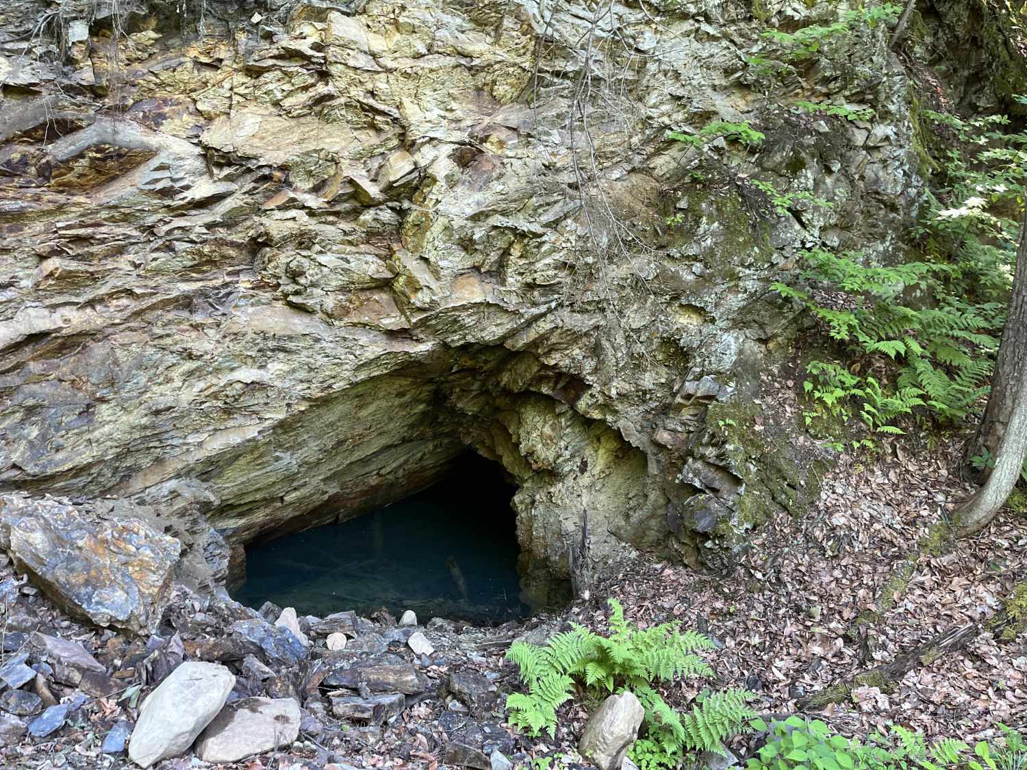
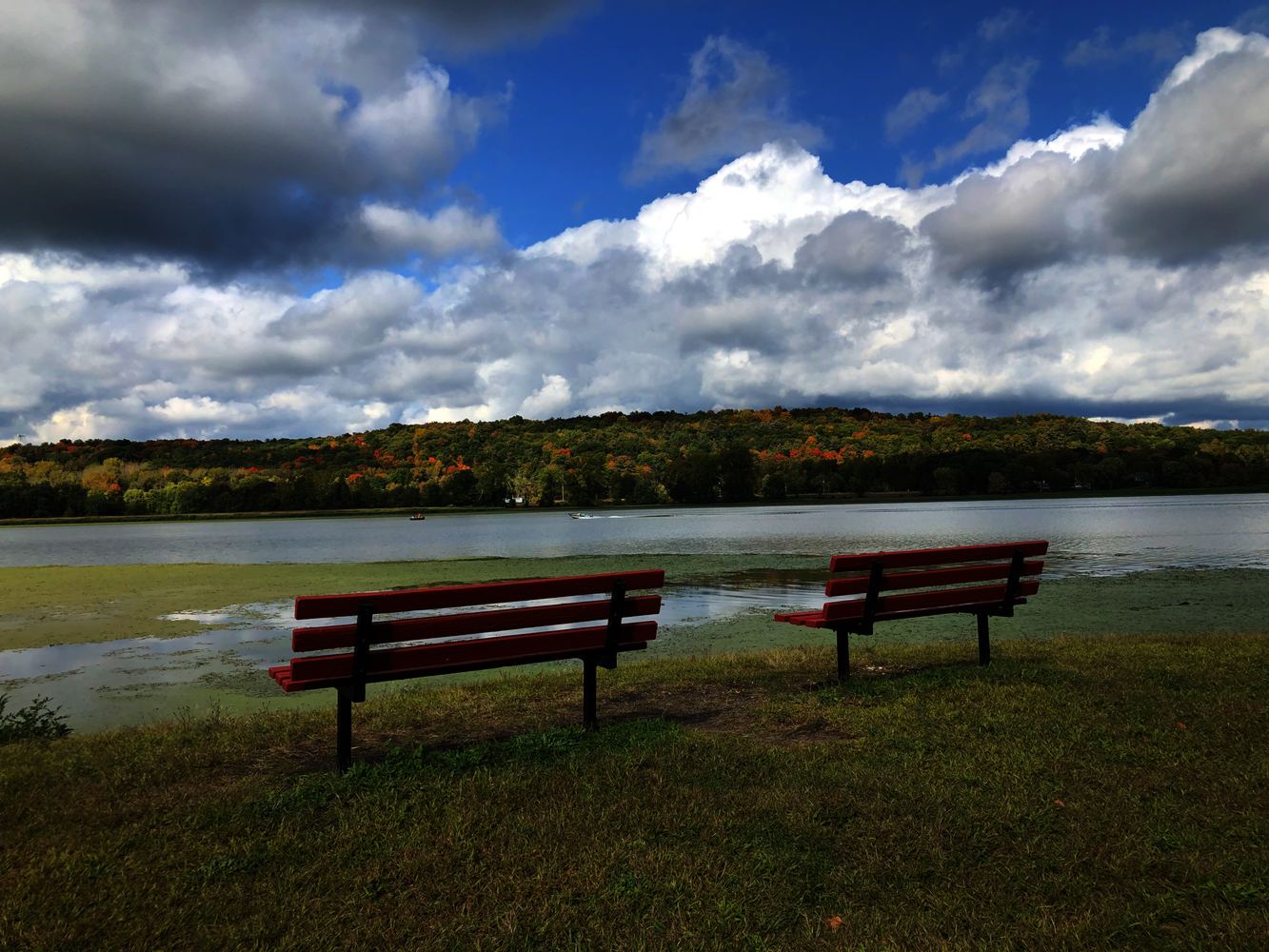
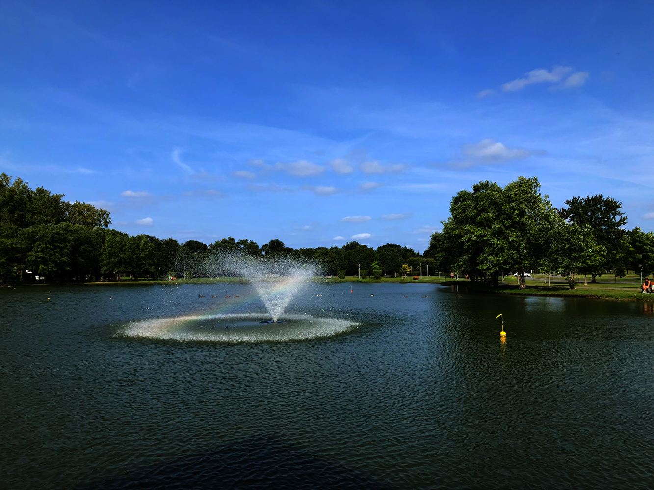
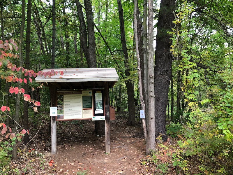
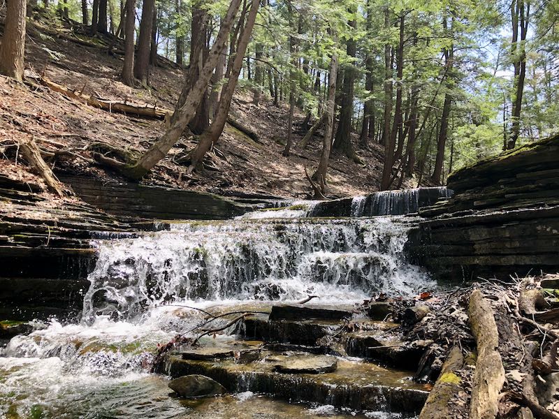
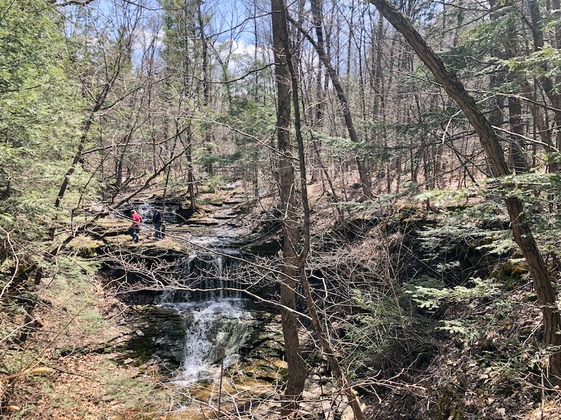
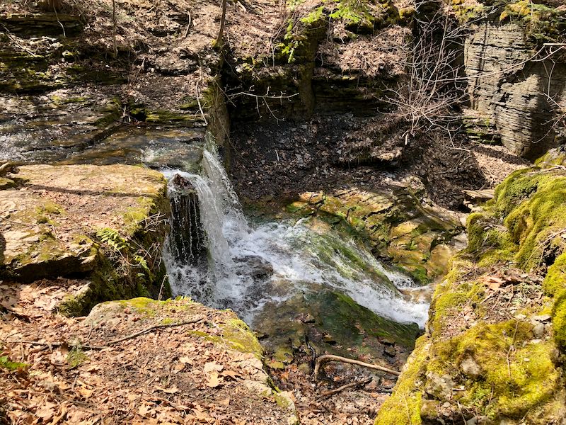
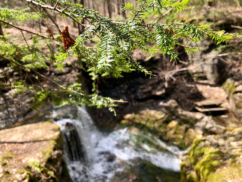
Venture out on the Paint Mine Trail for a walk into the woods that follows a stream with cascading waterfalls. During seasons when water is plentiful, this trail provides multiple picturesque spots for views. The trail starts from the Paint Mine lot (map below); you'll find this location available in Google Maps for easy reference. You will see a sign marking the lot to the left approximately one and a half miles past the park entrance when going west on Thacher Park Road.
From the lot, you'll immediately see the stream just past a picnic area, with the trail starting on the right side of the stream. You'll start on a white connector trail, which will soon turn to a red trail. You can take the red loop around for a simple 1.5 mile hike out and back, or combine with other trails for a longer trek through the park.
The trail also connects to the Long Path, a long distance trail that extends from New York City to its end point in Thacher Park. You'll note this path and the others clearly marked on a trail map available on the NYS Parks website.
In summary, this trail is a great introduction to scenery available in Thacher Park beyond the initial vantage points. You can also explore further to find more secluded cliff views such as High Point further north in the park.
Paint Mine Trail Photos
Trailhead Map
Access detailed trail maps on the official site for the park
.