Located in Wilton, NY, just north of Saratoga Springs, this trail system offers over 200 acres and 5 miles to explore. As the name implies, this land is the site of former graphite mines, the remnants of which you can see at various points. Currently, the land is owned by Saratoga County and maintained by Saratoga Plan.
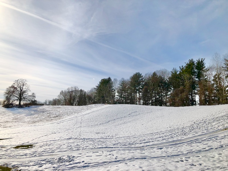
The trails are open for hiking and mountain biking, as well as snowshoeing and cross-country skiing in the wintertime. Dogs are allowed while leashed.
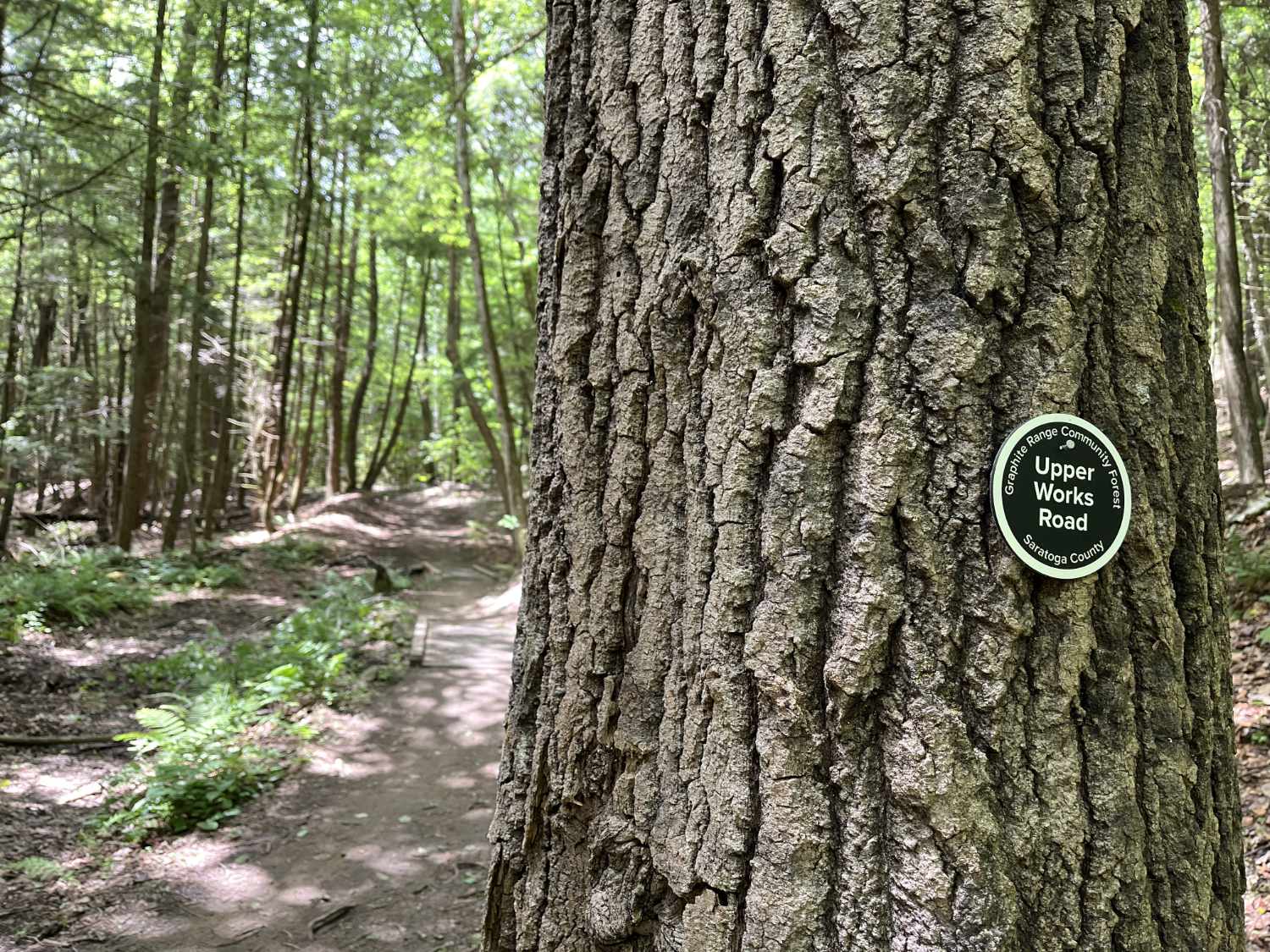
A large parking area is located on Route 9, across from the intersection with Worth Road. From here, the trail leads up into the woods (note the path markings for where to walk uphill to avoid bikers coming downhill) and branches off into side trails at various points.
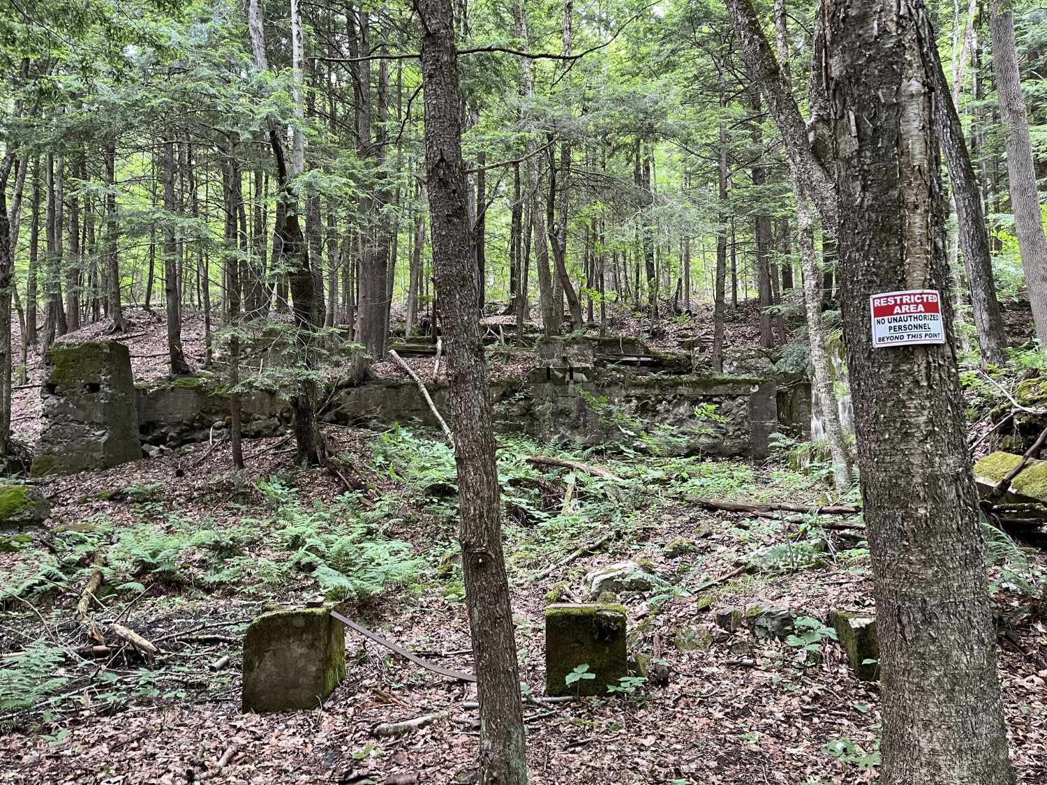
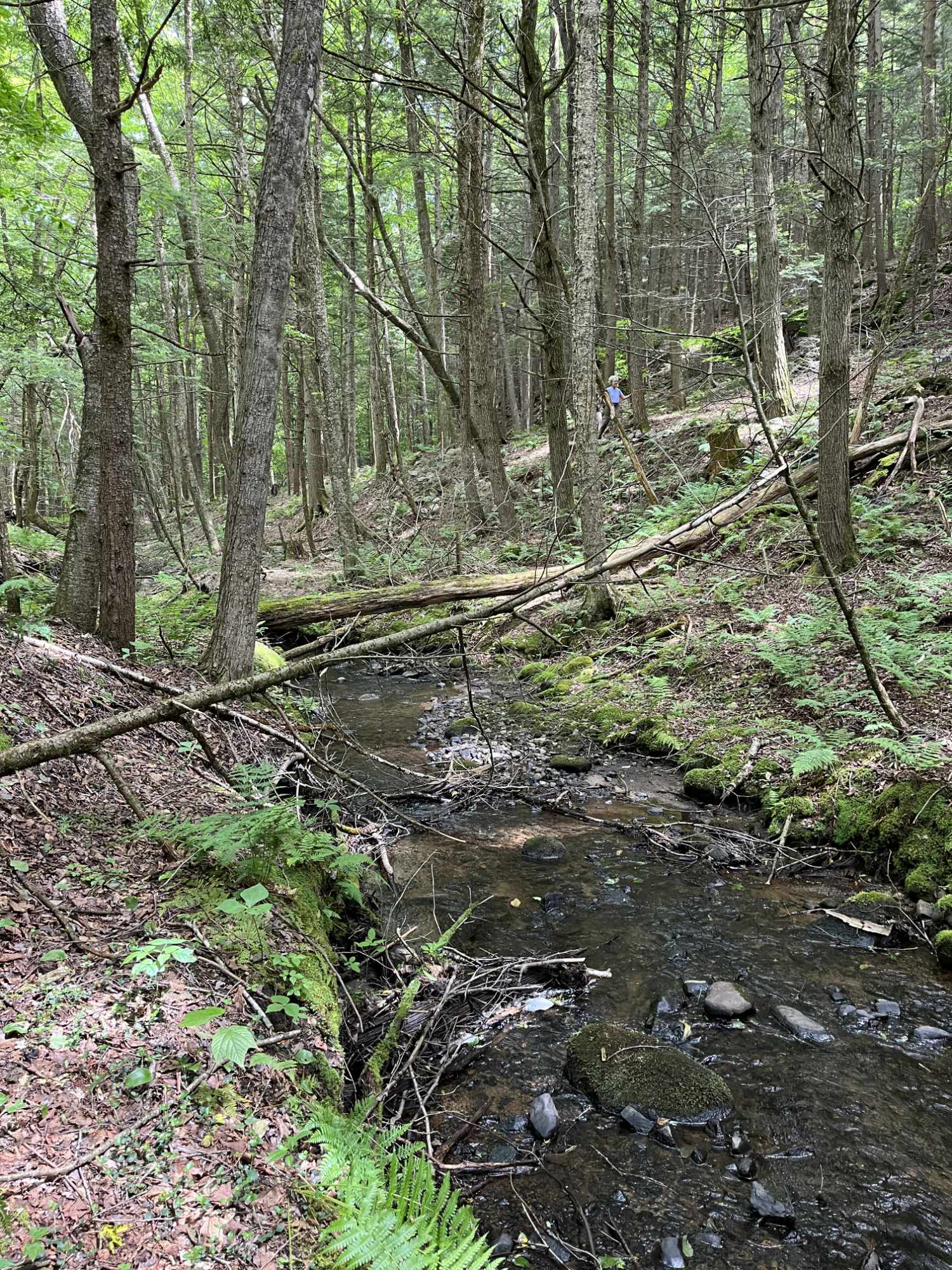
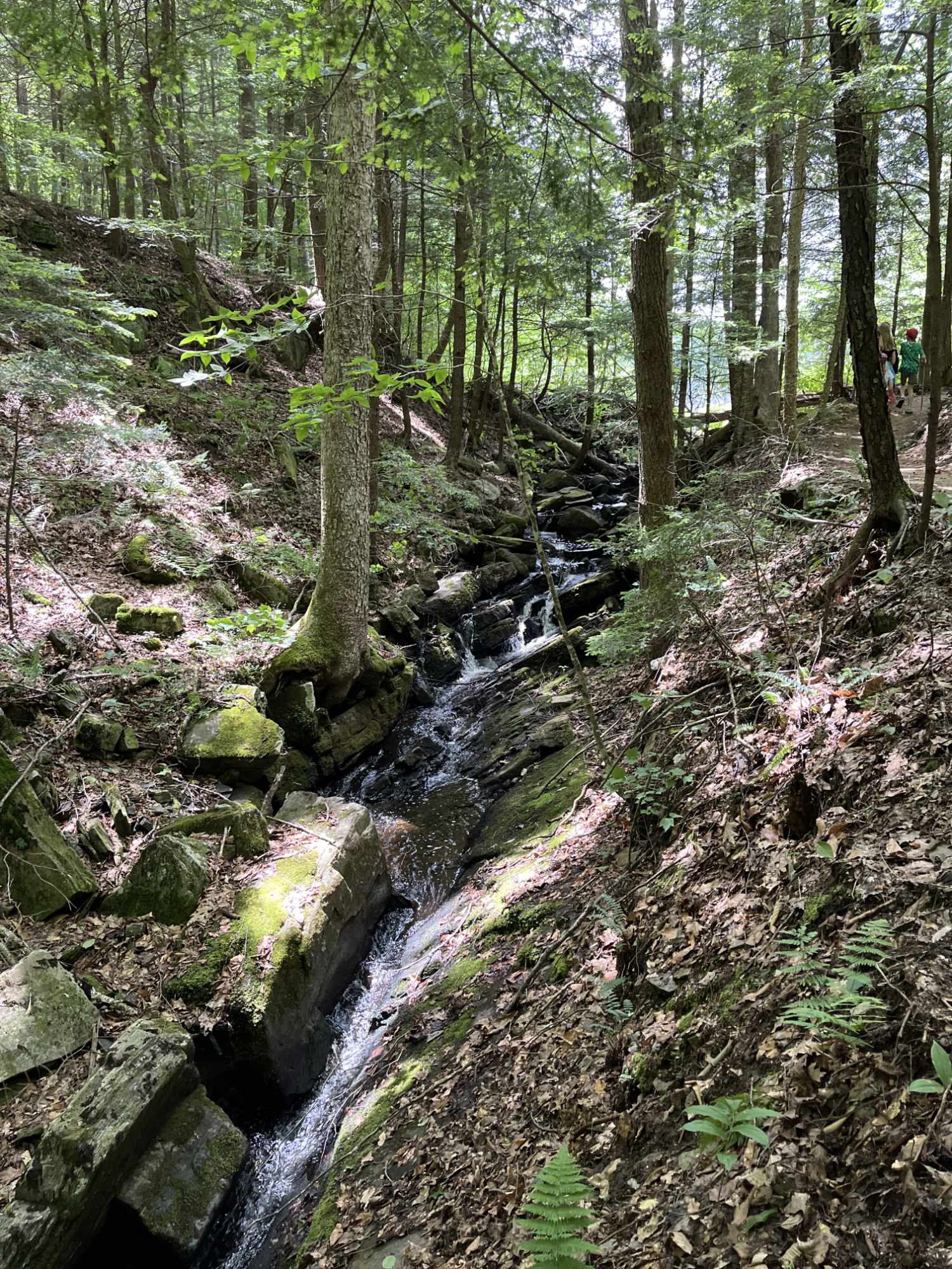
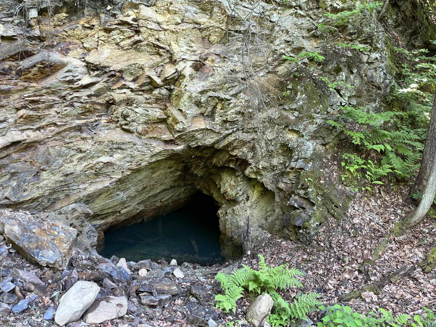
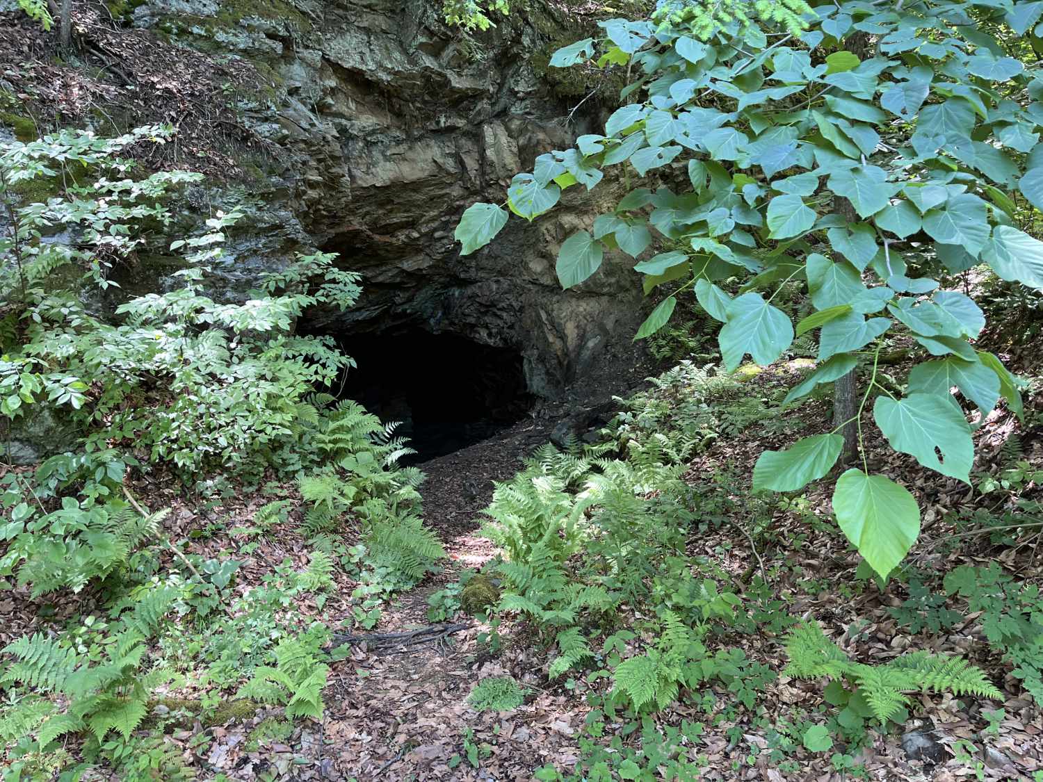
While exploring this forest, you'll encounter wooded terrain reminiscent of the Adirondack foothills, as well as streams and small waterfalls at various points. You can also find the foundations of former buildings used in the mining operation, as well as one area where you can see the openings of old mines themselves. Be sure to respect signage and not venture into areas marked off limits.
Overall, this forest offers a beautiful recreational opportunity not far from the bustle of Saratoga Springs. Take a look at the map linked below for more details.
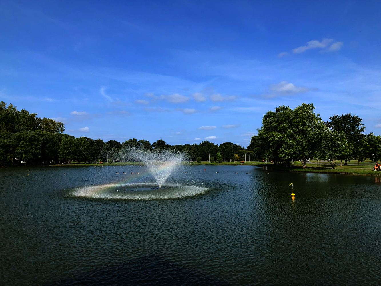
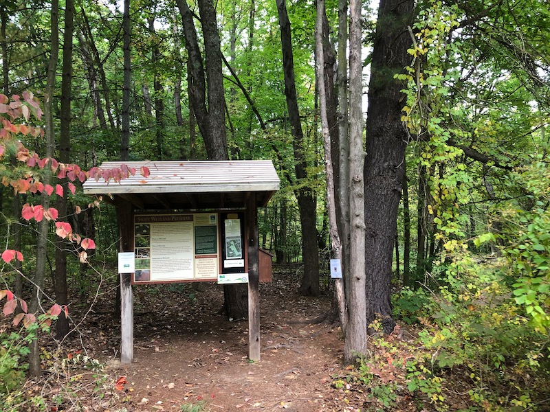
Graphite Range Community Forest Photos
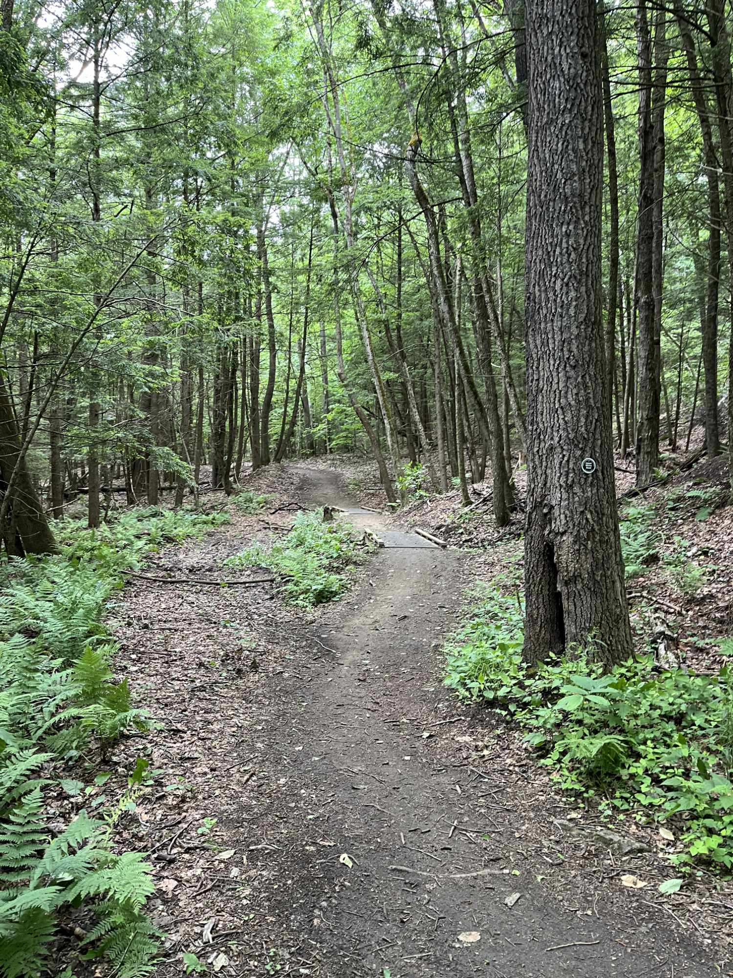
Graphite Range Community Forest Map
See a detailed trail map courtesy of Saratoga Plan

