Towering high above the Northeast section of Lake George, Black Mountain ranks as the highest mountain for this region, at 2,665' elevation. A moderate hike climbs to the summit, with the opportunity to loop up one way and down another. You'll cover around 6.6 miles total on this hike.
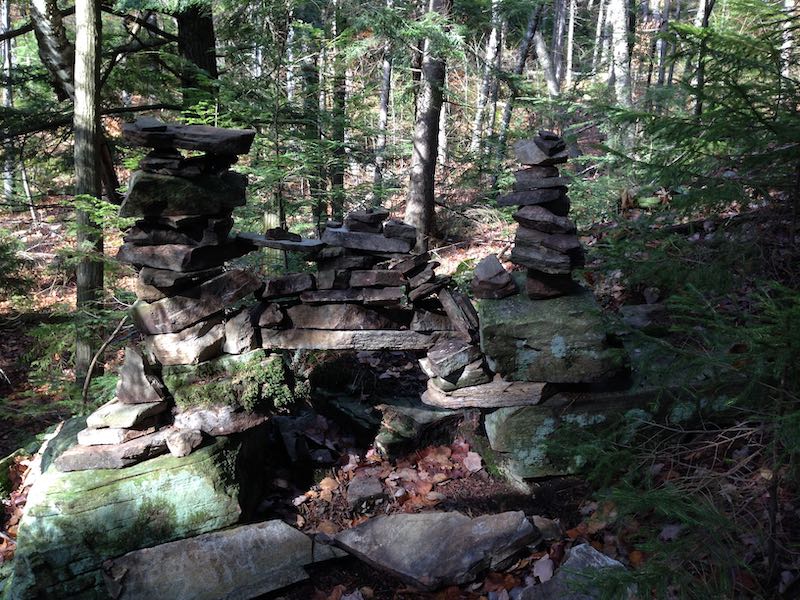
Note that an alternative trail starts directly off of the shore of Lake George (you'll need a boat!), but the main approach to Black Mountain starts from Pike Brook Road. You'll start out along an old jeep road, staying relatively flat until you reach a point where the trail splits, where you'll begin climbing. Follow red markers to the top of the mountain. You will encounter some more strenuous climbing as you get closer to the top.
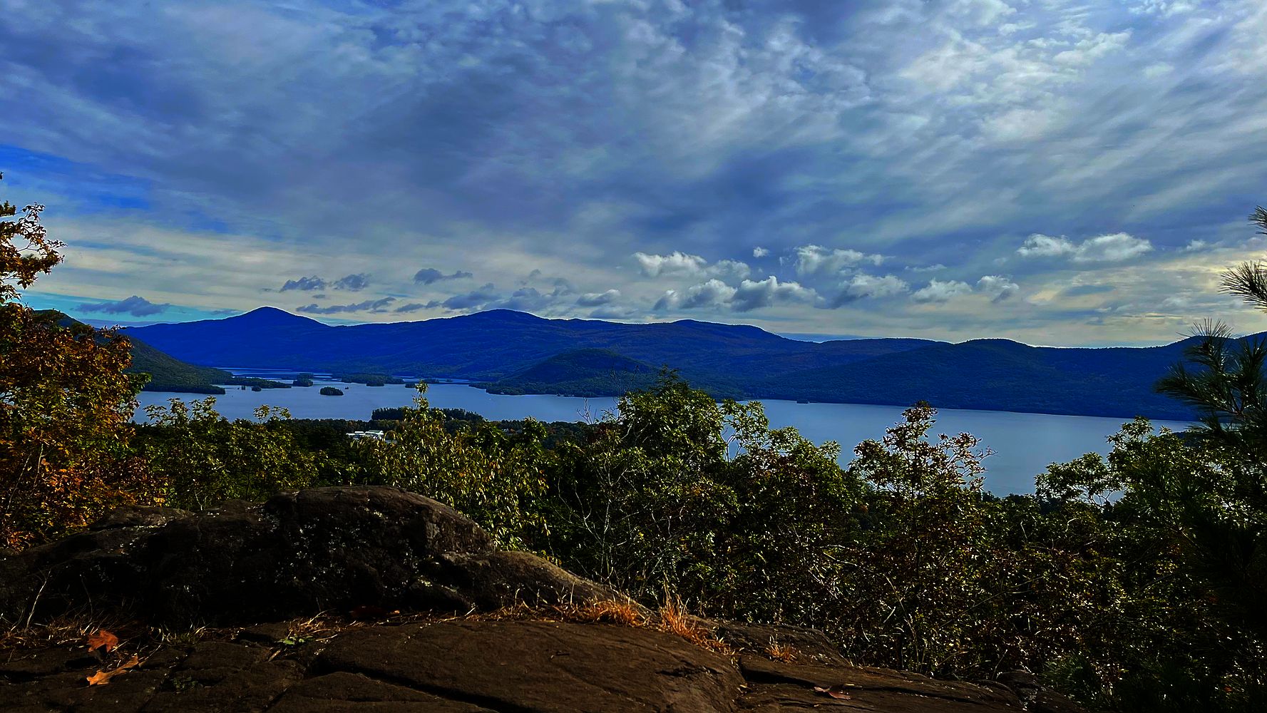
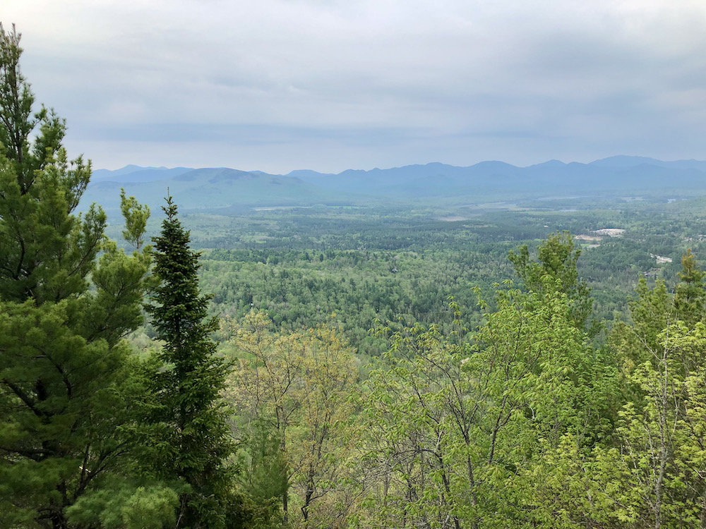
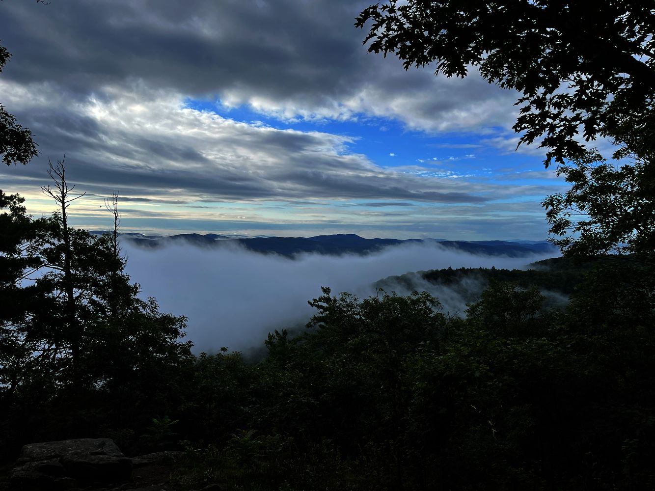
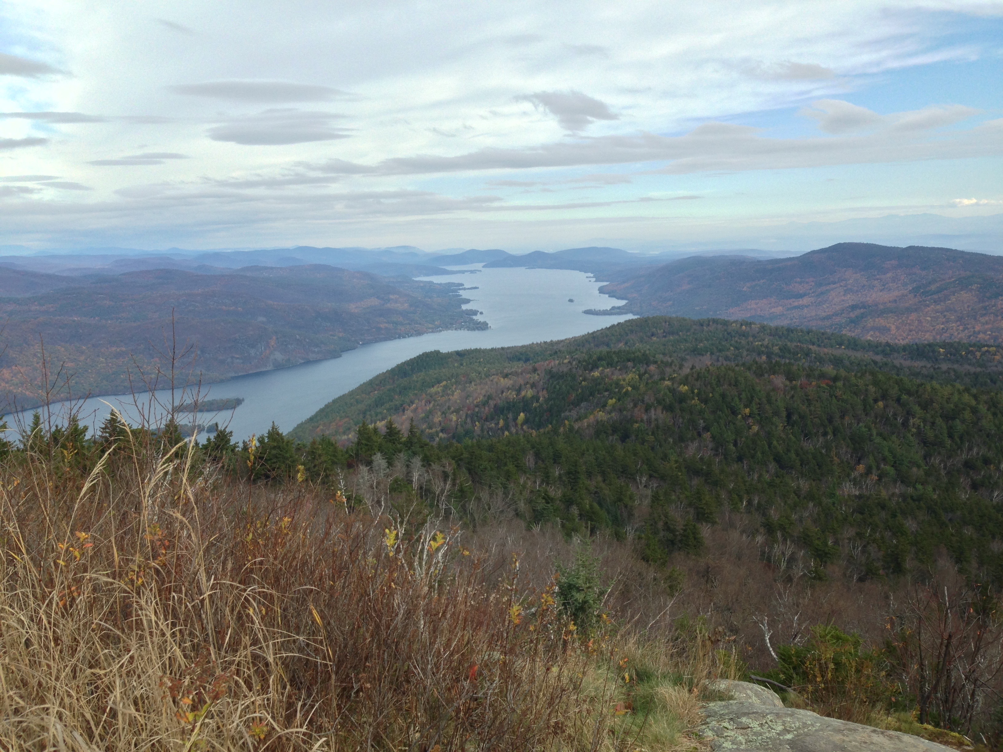
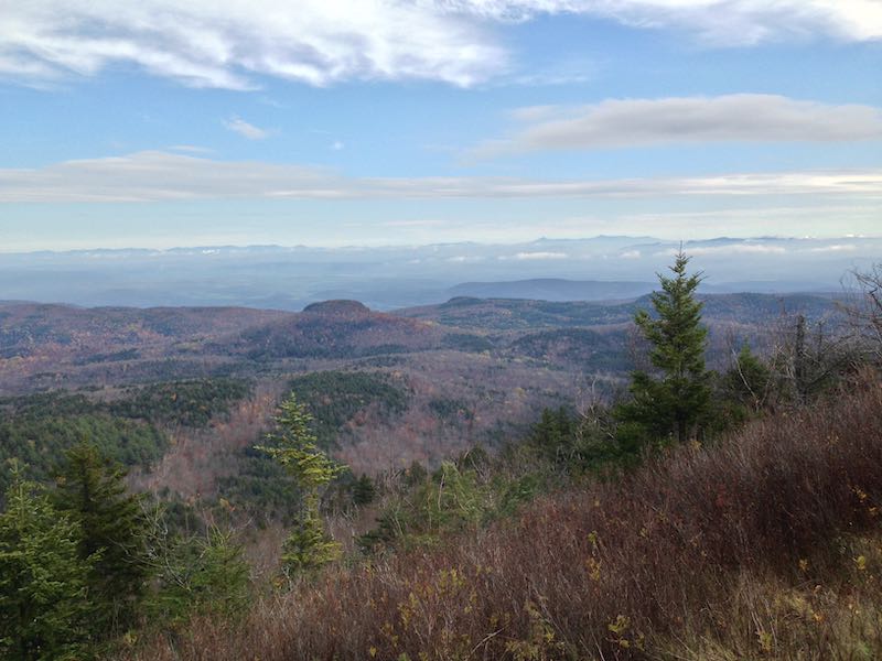
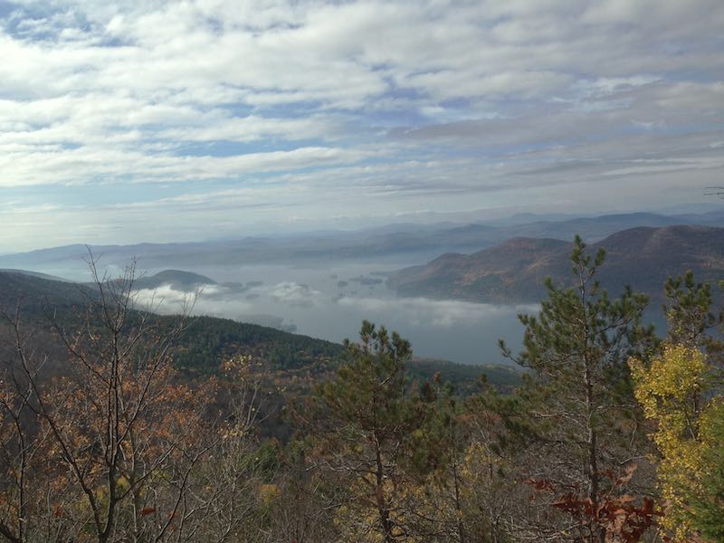
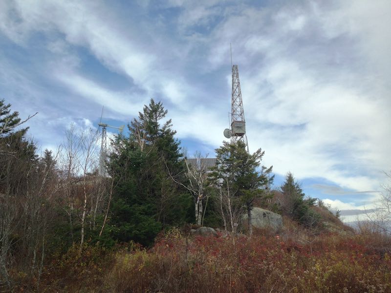
On the summit, you'll see an expansive view down Lake George from the top, looking toward the Tongue Mountain Range and the Narrows further south. On top of the rocky surface of the mountain, you'll see an old firetower that has been repurposed as a radio tower, with a windmill to generate power.
On the way down, take the blue trail to go by Lapland Pond. Along the way, you'll see views looking down toward the Tongue Mountain Range. Once you reach the intersection with the red trail again, turn right and head back the way you came.
Photos from the Black Mountain Trail

Map of Black Mountain Trailhead
Consider carrying a sturdy paper map from National Geographic that shows this trail and others throughout the Southern Adirondacks.