Located in New Scotland/Berne, this preserve includes a 2.1 mile trail that takes you through old-growth hemlock trees, down by the Hannacroix Creek, and back up to end at the road a short distance from the trailhead. Seasonally depending on water flow, you can see an impressive waterfall as well.
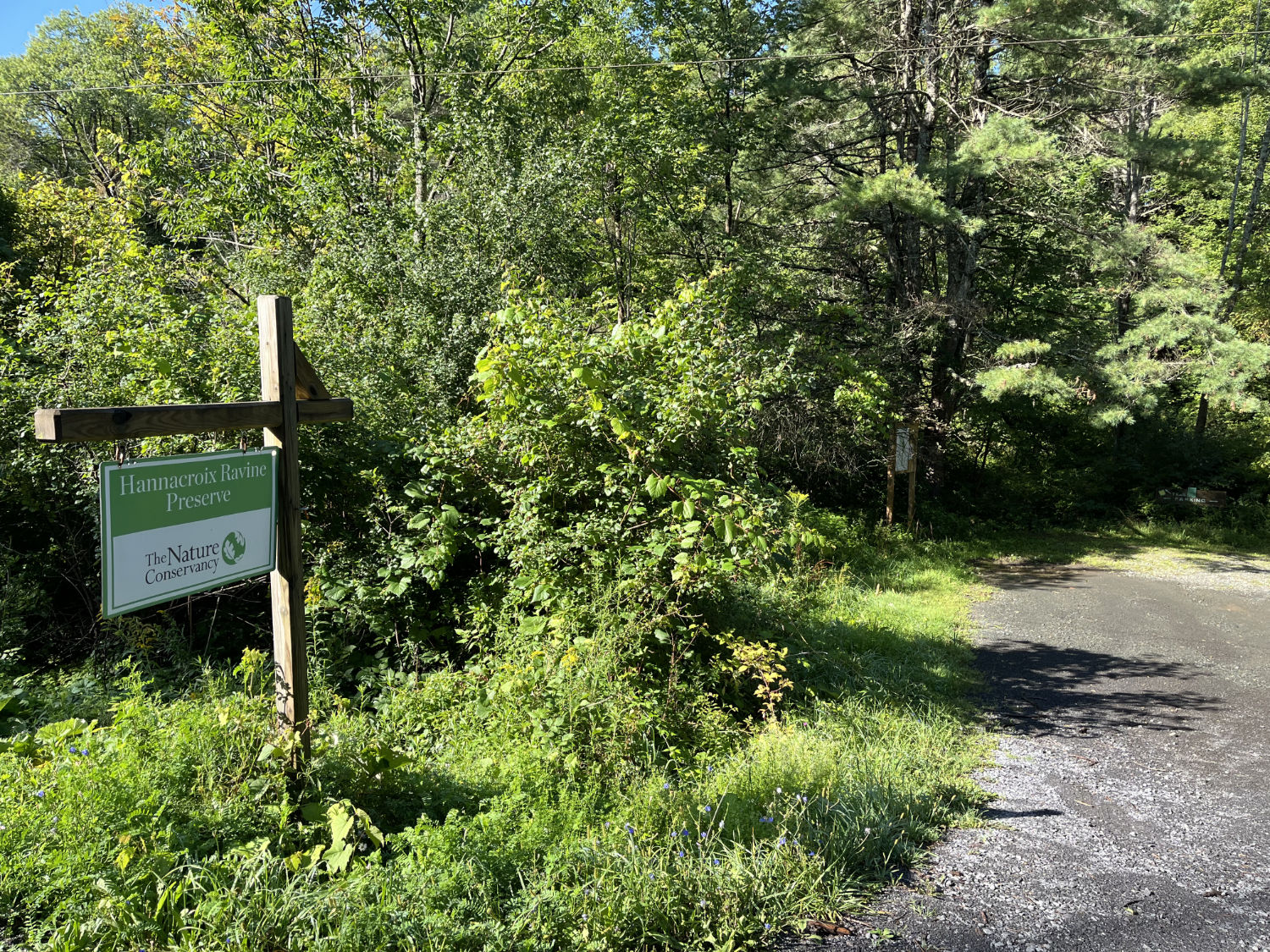
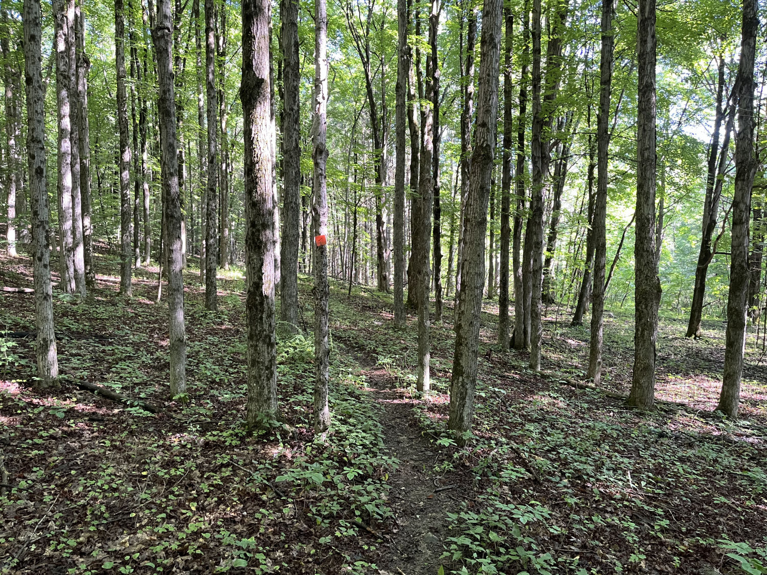
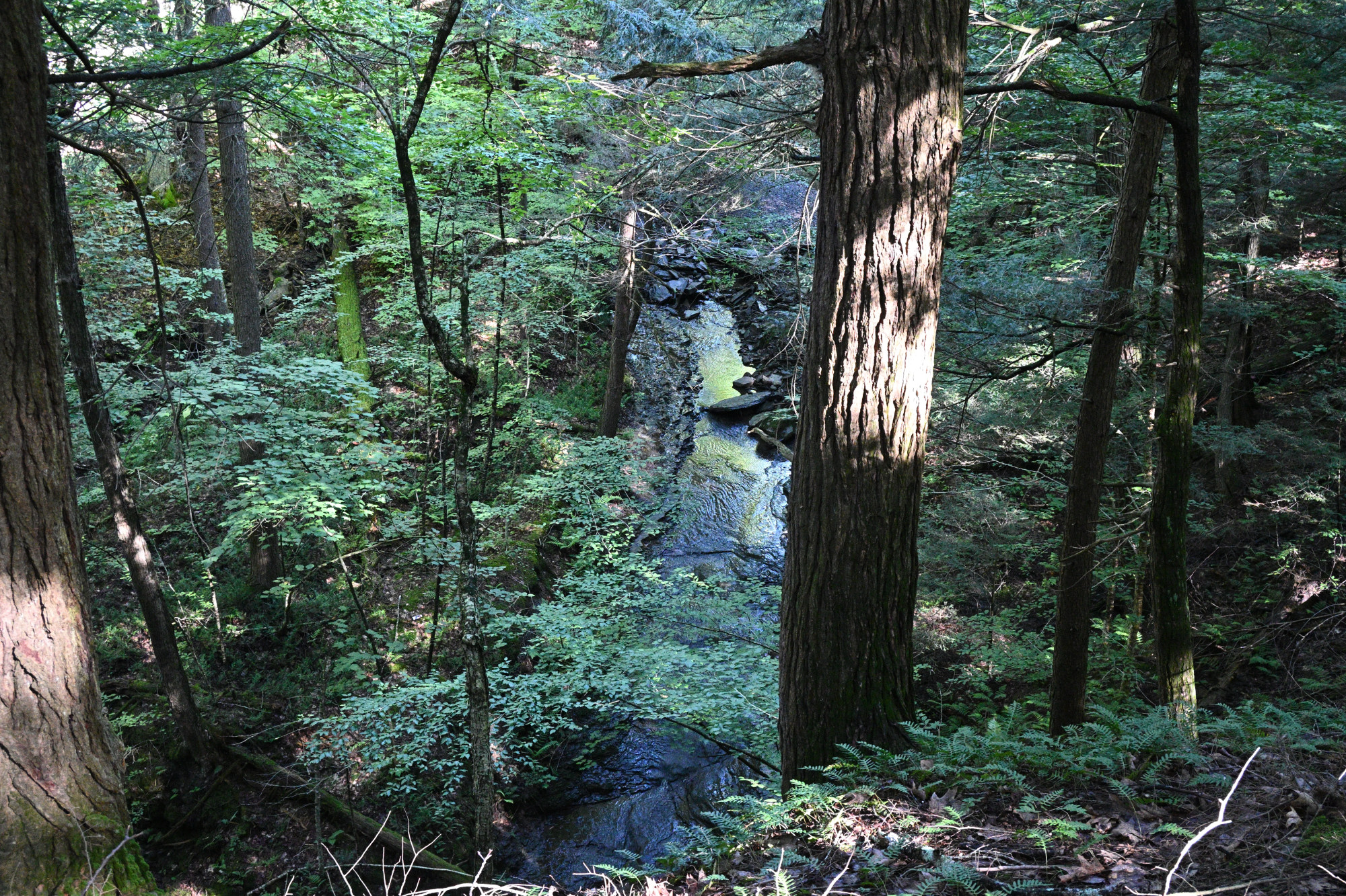
The parking area, on Cass Hill Road not far off the Delaware Turnpike in Clarksville, contains space for around 6 cars in a small gravel clearing. Follow the trail markers (labeled as orange on the official map but more red-looking in spots) through the woods to find yourself walking near the edge of the ravine and then making your way down toward the water. If you venture off-trail, you can go closer to the edge to view the creek and waterfalls from high up, but be very careful as there is a steep drop off.
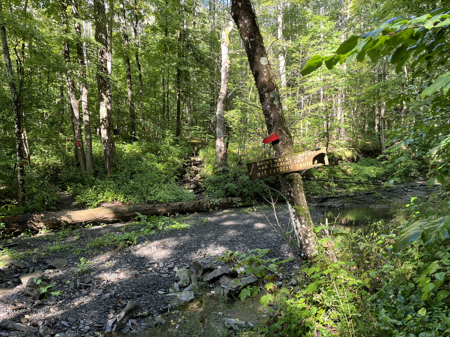
Also note that the creek can have a strong current when water flow is higher, with the trail crossing through at one point. The ravine can also flood easily in storms, so be mindful of recent and expected weather when hiking here.
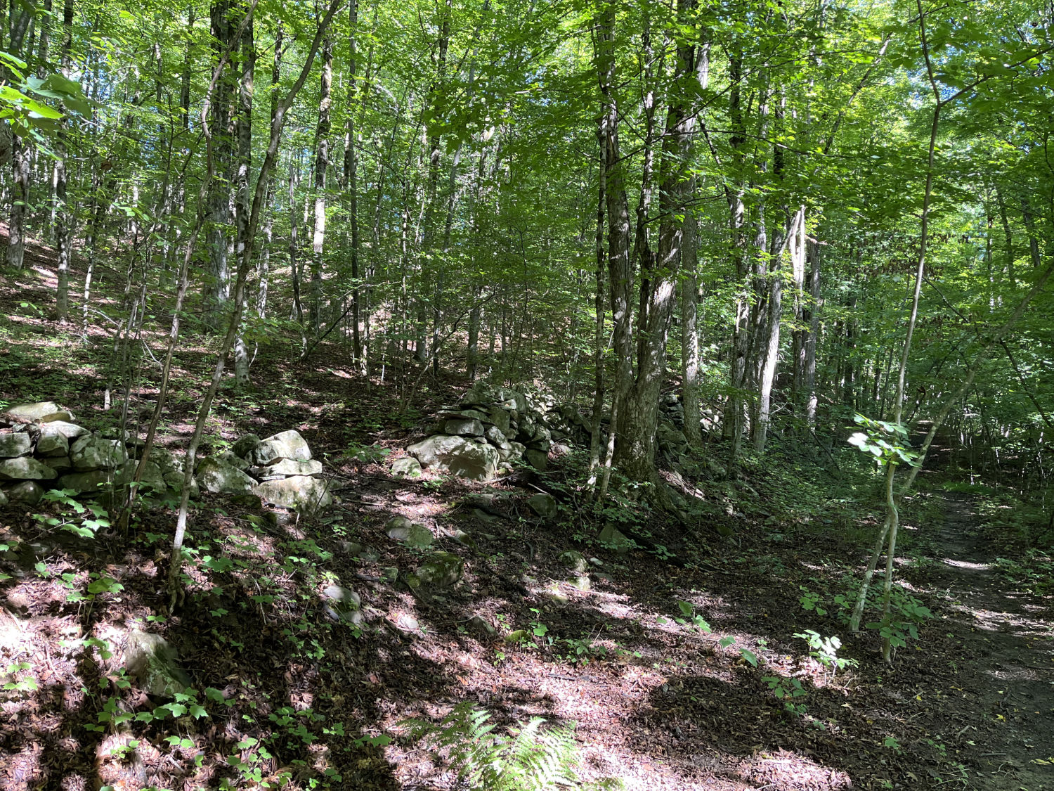
As is common to the area, you'll note the remains of stone walls in spots, as remnants of past usage of the property. Once you reach the end of the trail, you can either backtrack the way you came, or turn right on the road to walk less than half a mile back to the trailhead.
If you'd like to combine this short hike with other nearby preserves, consider visiting the Keleher Preserve and Bennett Hill Preserve, which are both quite close.
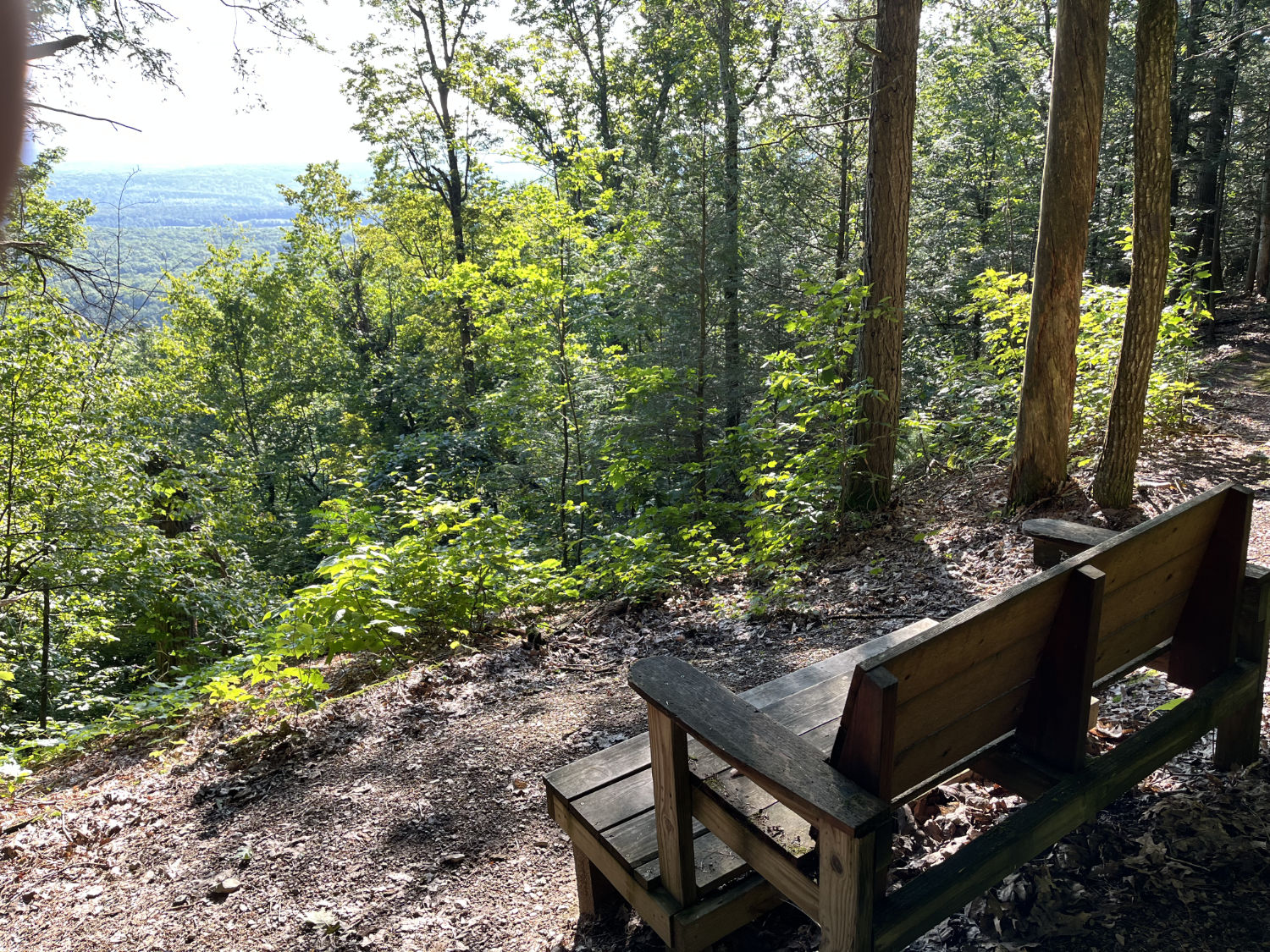
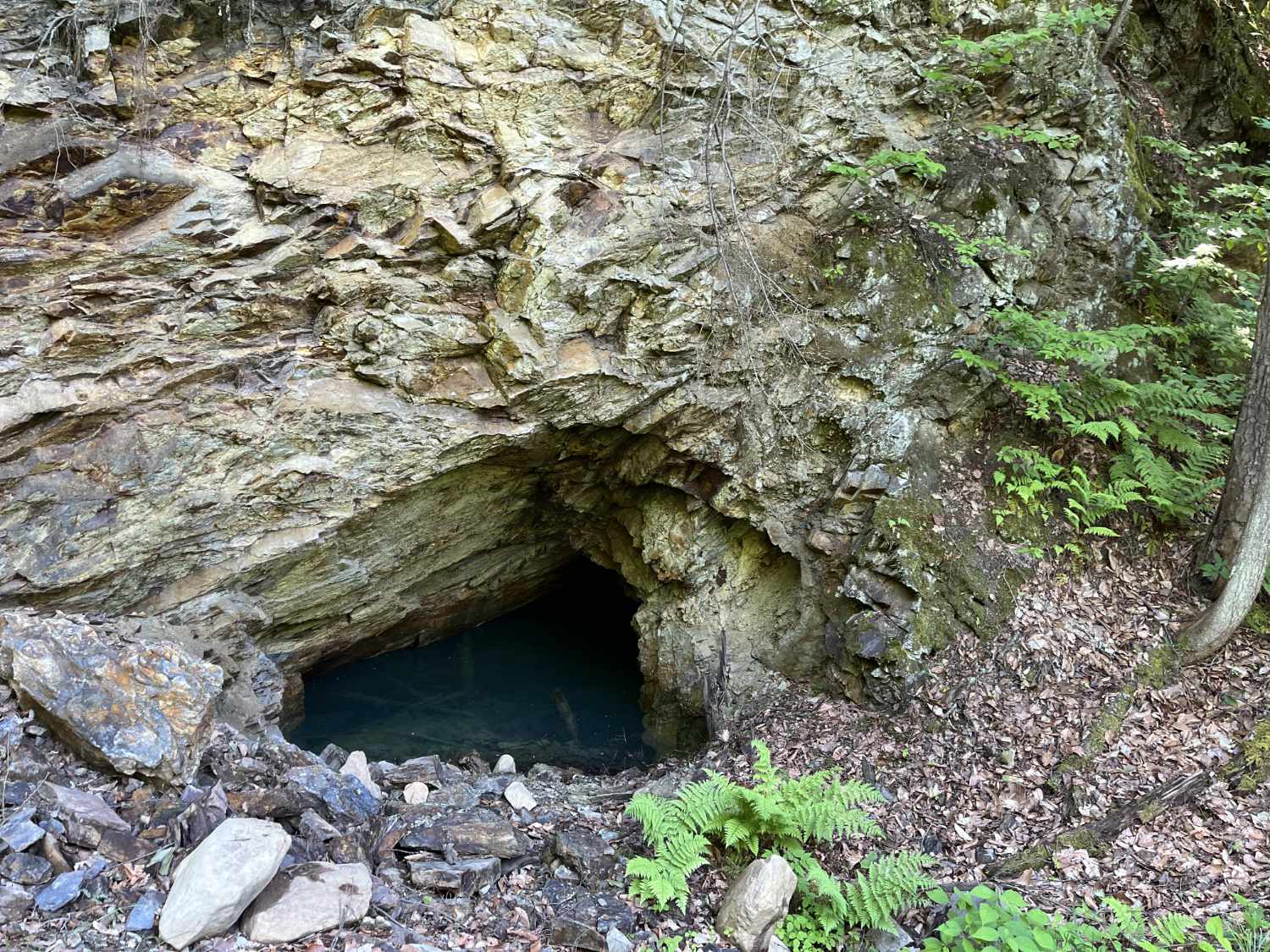
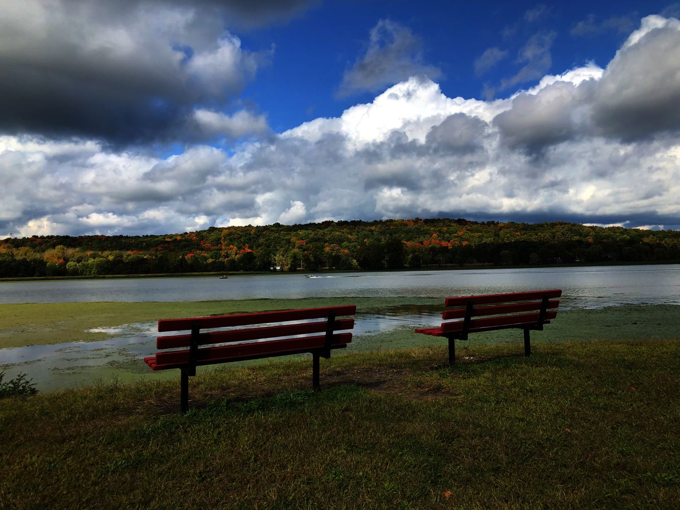
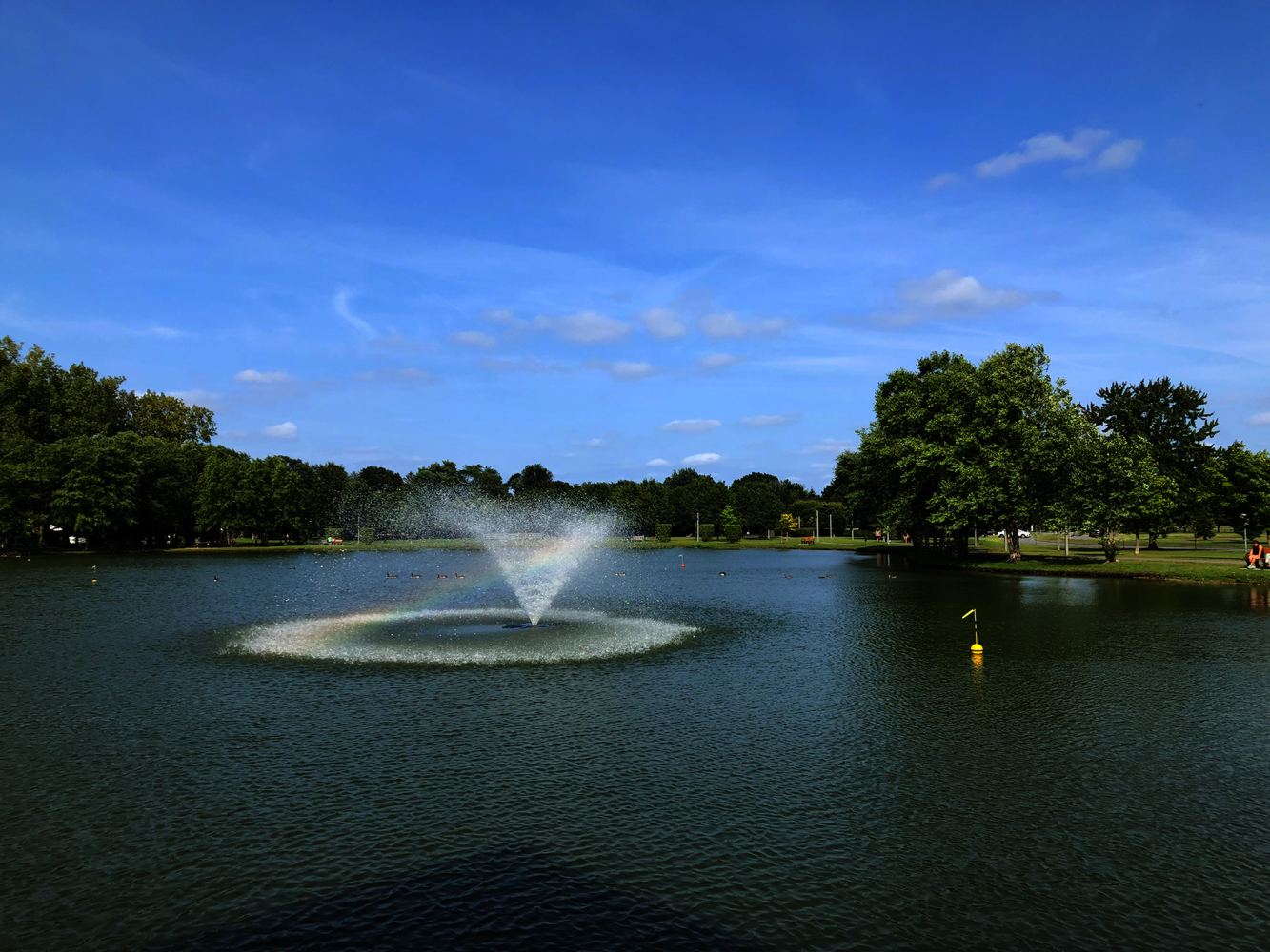
Hannacroix Ravine Preserve Photos
Hannacroix Ravine Preserve Map
See a detailed trail map courtesy of The Nature Conservancy