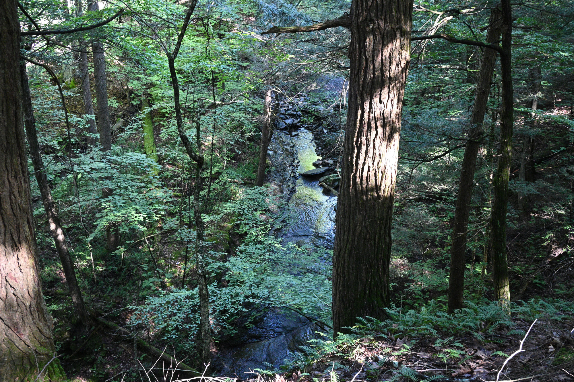
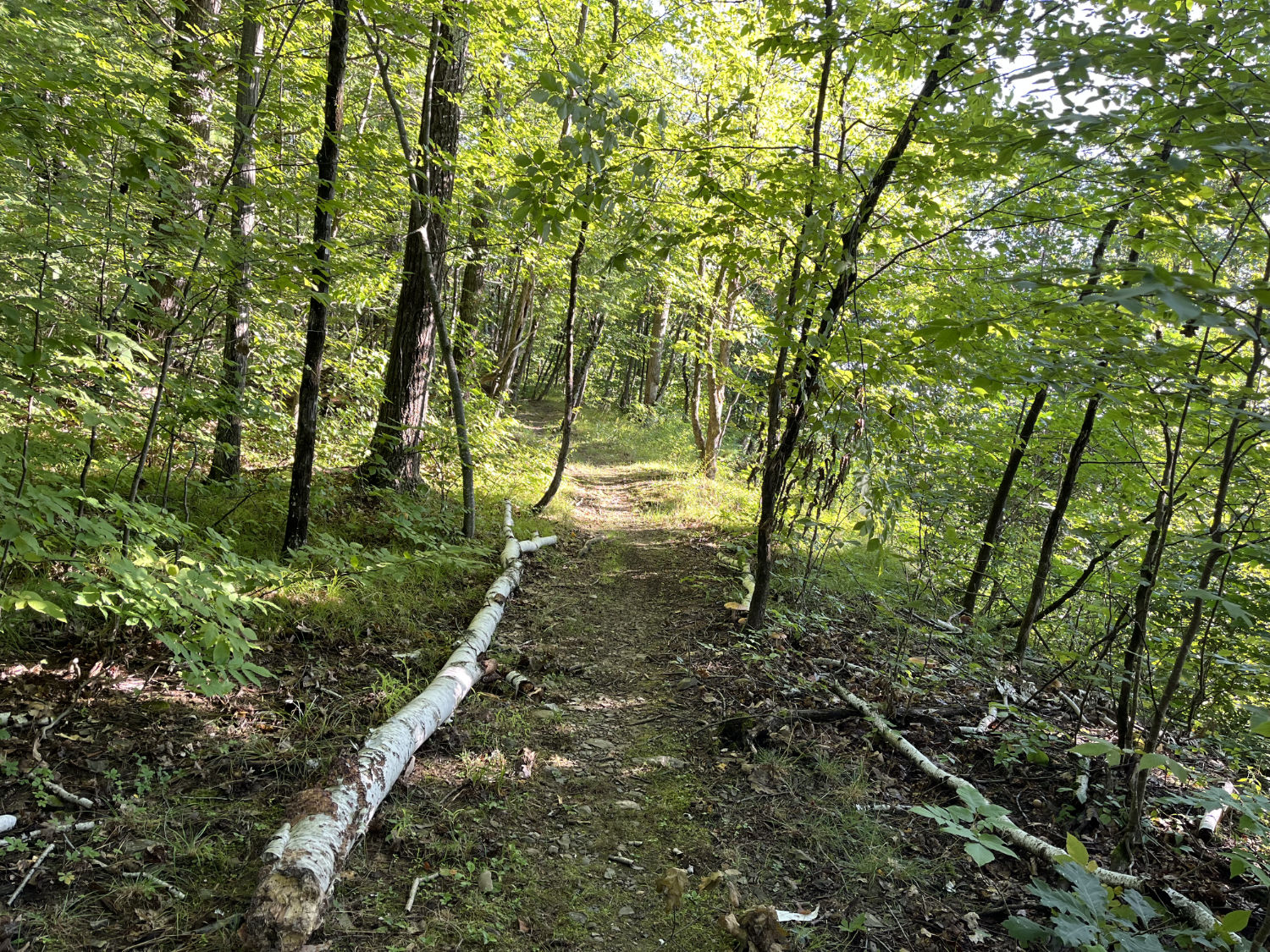
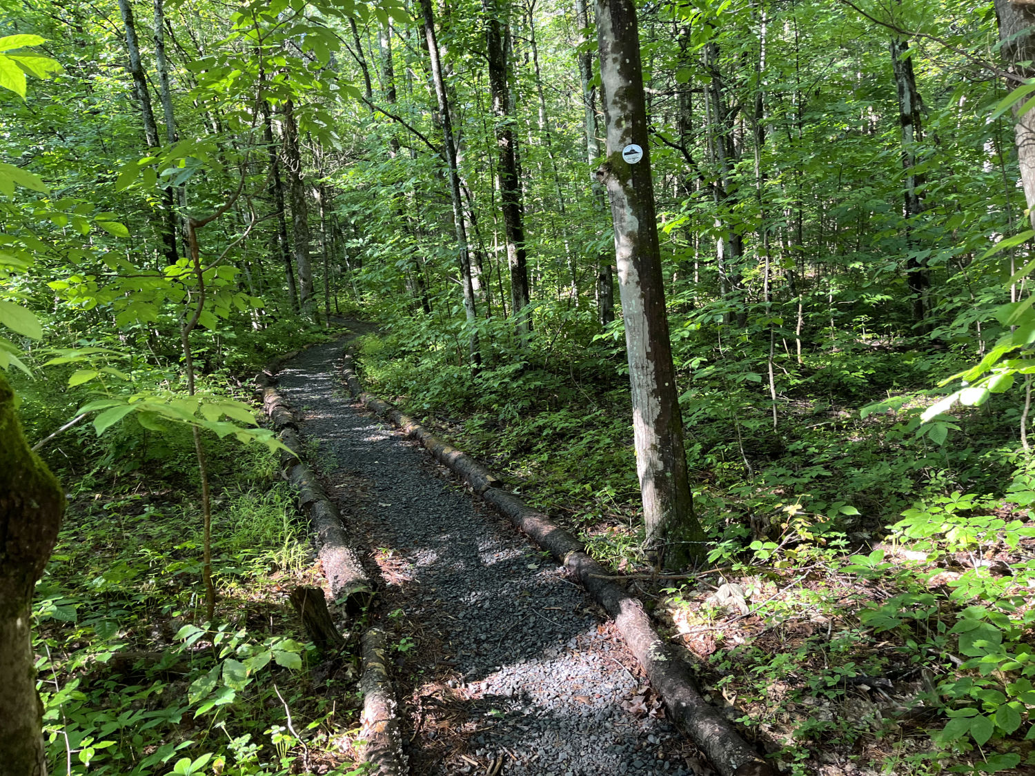
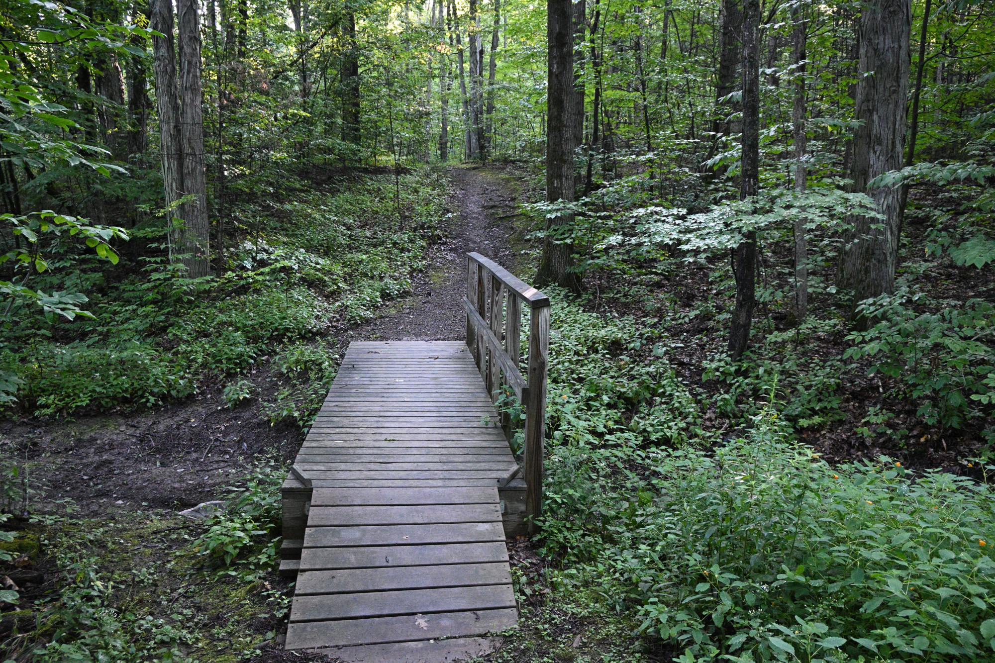
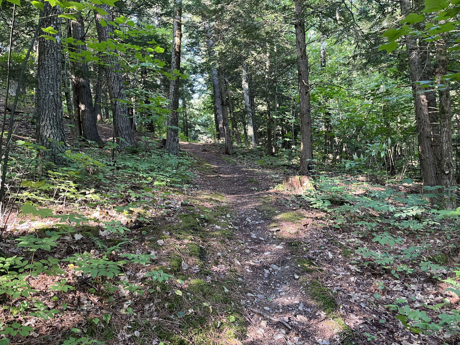
Starting high up in the Helderberg Mountains, the Keleher Preserve is touted by the Mohawk Hudson Land Conservancy as their most remote-feeling trail system. The paths take you through the forest atop Wolf Hill and along ridges, with occasional stream crossings and a viewpoint into the valley below. This preserve is notable as one that allows mountain biking.
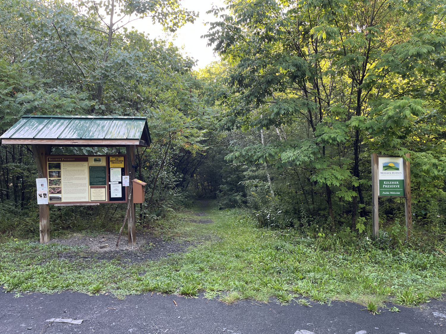
The trailhead is on Gulf Hill Road not far off of Rte. 443 in Berne. Be aware this road is unpaved and is steep and narrow in spots. Since you've already driven to a relatively high point of elevation, the trail system does not contain any major elevation gain, although you should come prepared for some ups and downs and expect some sections with uneven footing. If hiking with kids, be aware that some trail sections have steep dropoffs close by.
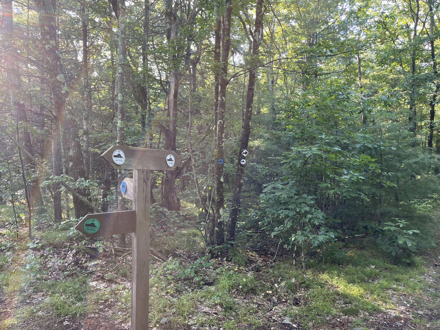
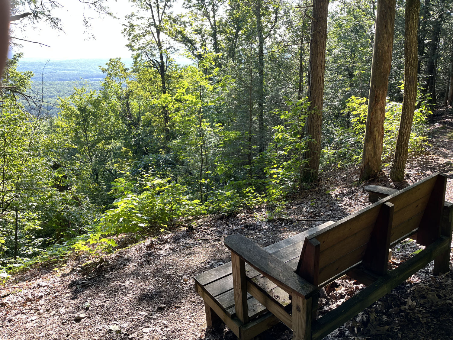
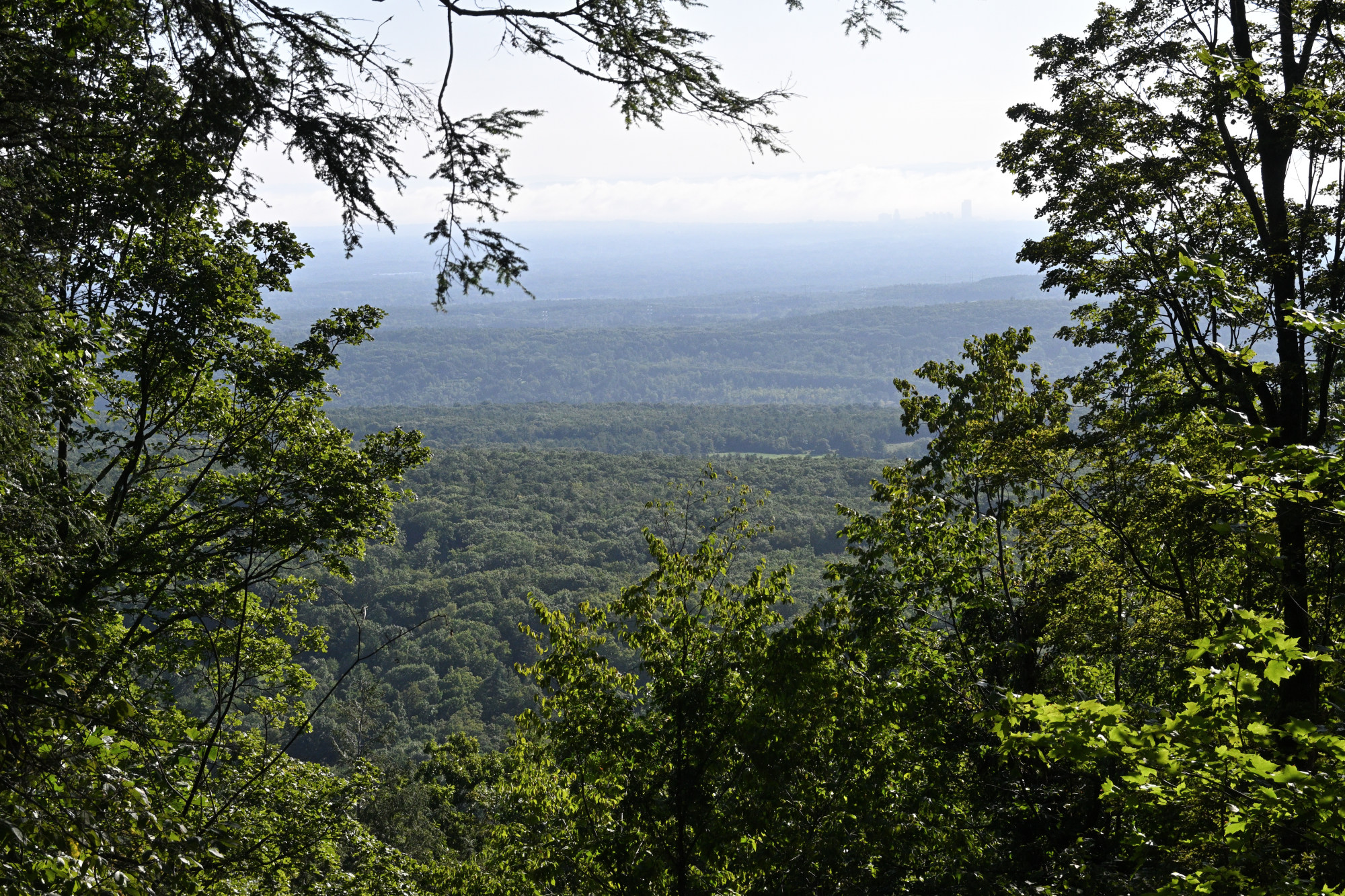
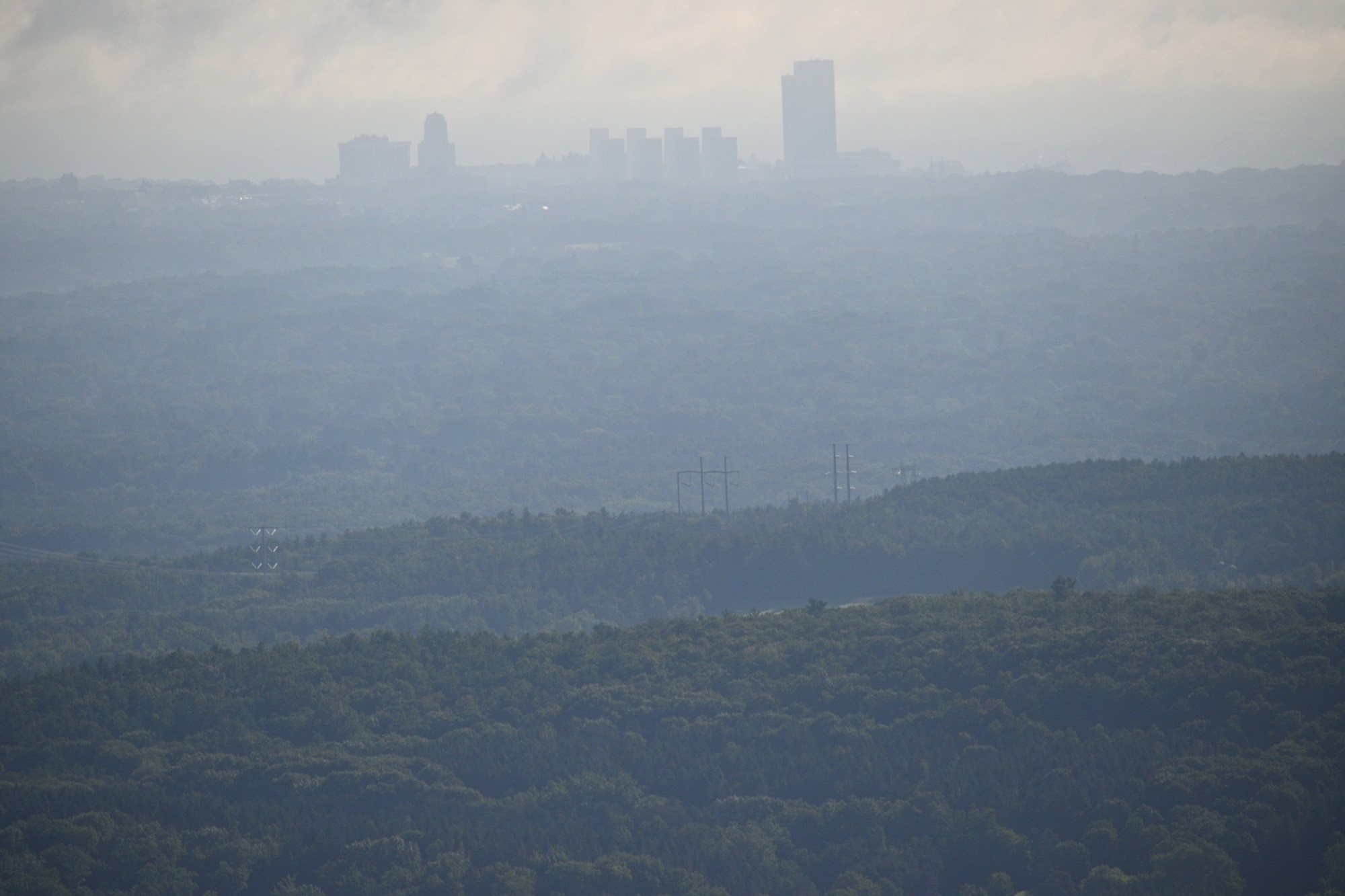
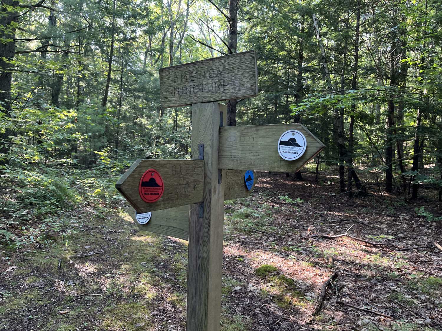
Sticking to the white loop trail that goes around the perimeter of the preserve will cover around 3.5 miles. Venturing onto the red trail (note bikes are banned on this small cutoff) will take you to the overlook where a clearing in the trails allows you to see far on a clear day, with the taller buildings of Albany visible as well as some of the more distant hills and mountains. Outside of this spot, you won't see many long distance views in seasons when the leaves are on the trees. The blue, green, and orange trails intersect sections between the loop trail.
In spots, you'll see remnants of stone walls and structures that existed when this property was a farm in the 1800s. A generous family had gifted the property to MHLC in 2010, and it was expanded in 2014.
This preserve offers a bit of a wilderness feel approximately a half hour drive from Albany. Combine this with a trip to Thacher Park or to Bennett Hill Preserve for other great Helderberg views!
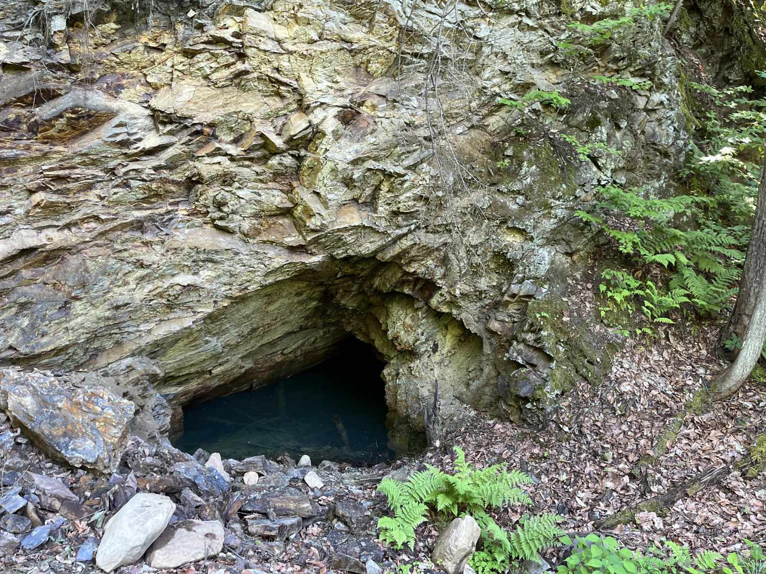
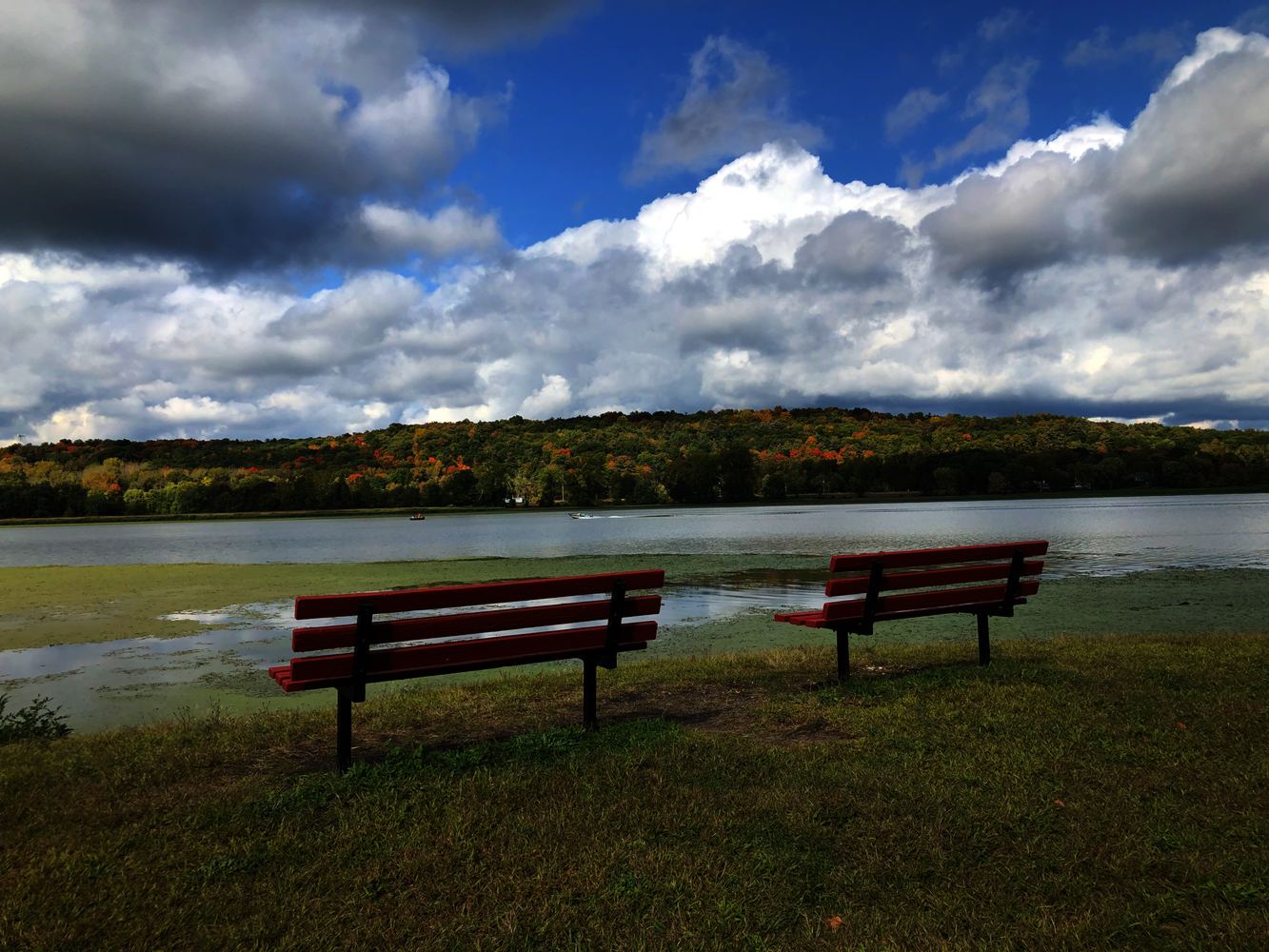
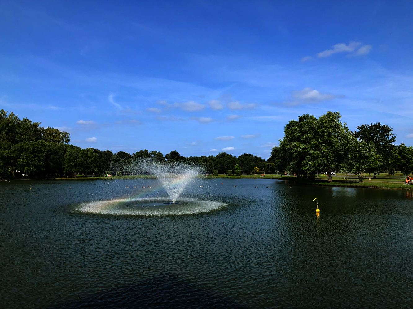
Keleher Preserve Photos
Keleher Preserve Map
See a detailed trail map courtesy of the Mohawk Hudson Land Conservancy