While locals may be familiar with Moreau Lake State Park as a popular beach and camping area, this park also boasts an extensive trail system. The Palmertown Range stretches several miles in the back section of the park, rising over 1,000 feet in elevation. You can access this range of Adirondack foothills either from inside the main section of the park, going up the Overlook trail by the beach parking area, or start from one of several parking areas off of Spier Falls Road.
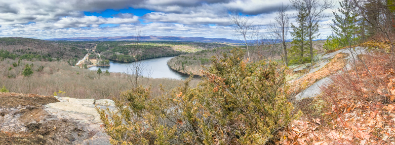
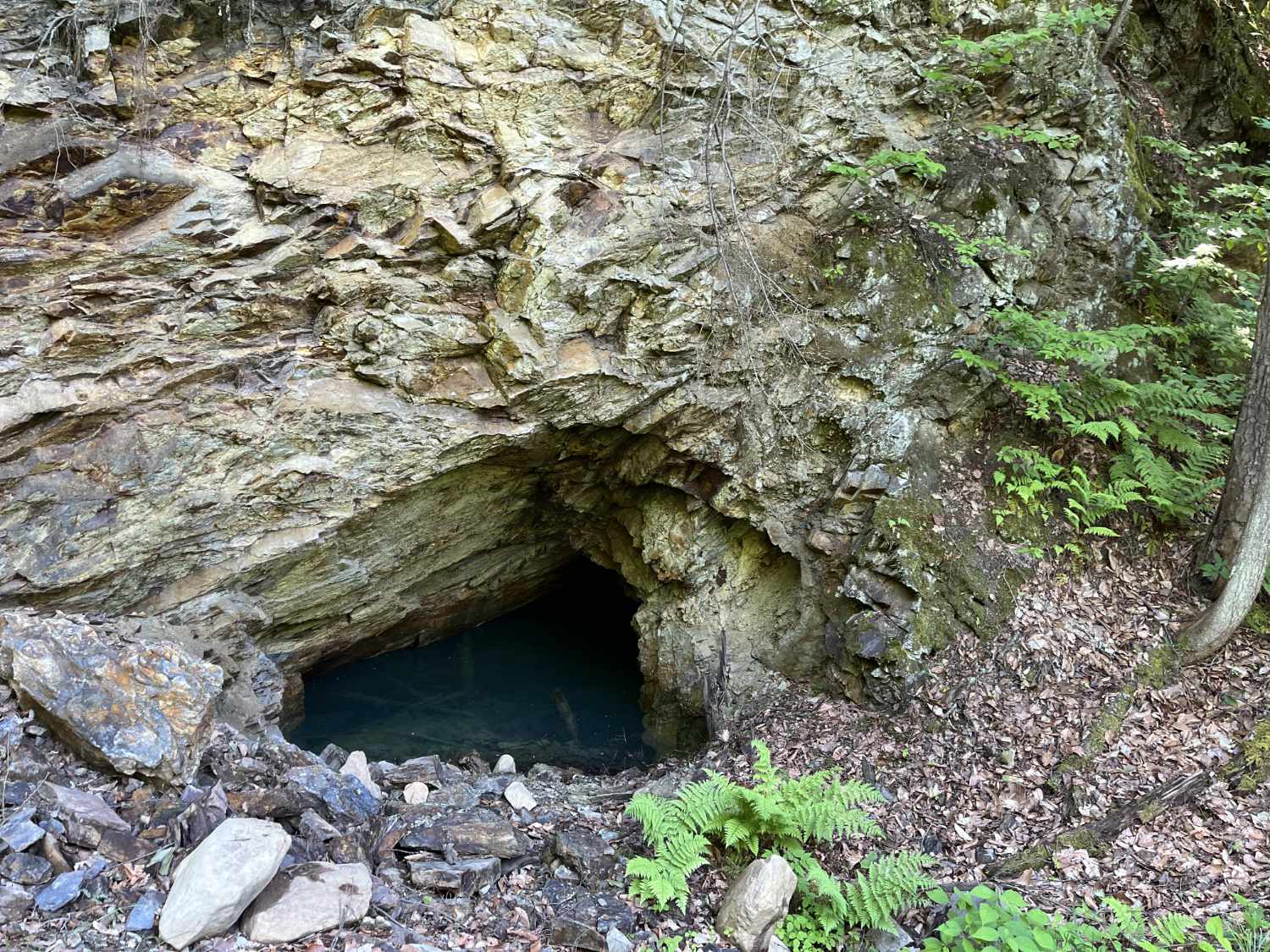
Within this trail system, the Western Ridge Trail runs for close to seven miles from one end of the range to another, with several overlooks of the Hudson River along the way. In addition, you'll see views stretching into the southern portion of the Adirondack Mountains. While not necessarily reaching as high as other Adirondack peaks in the area, trails still contain rugged ascents, with rapid elevation gain and rocky terrain in places. You'll find terrain varying from swamps to evergreen trees to deciduous forest.
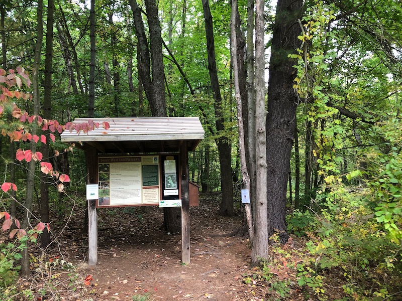
Several trails interconnect across the ridge, allowing you to either hike a loop or hike from one end to the other. We highly recommend printing a trail map online or obtaining one from the park office before venturing into this area. While trails are fairly well-marked, they can quickly become confusing with frequent intersections and the variety of marker colors.
Also see our guide to the new Lake Bonita trails in the park.
Map of Palmertown Range, with markers for parking areas
Consider carrying a sturdy paper map from National Geographic that shows these trails and others throughout the Southern Adirondacks and foothills.